
Stake attention in this memory
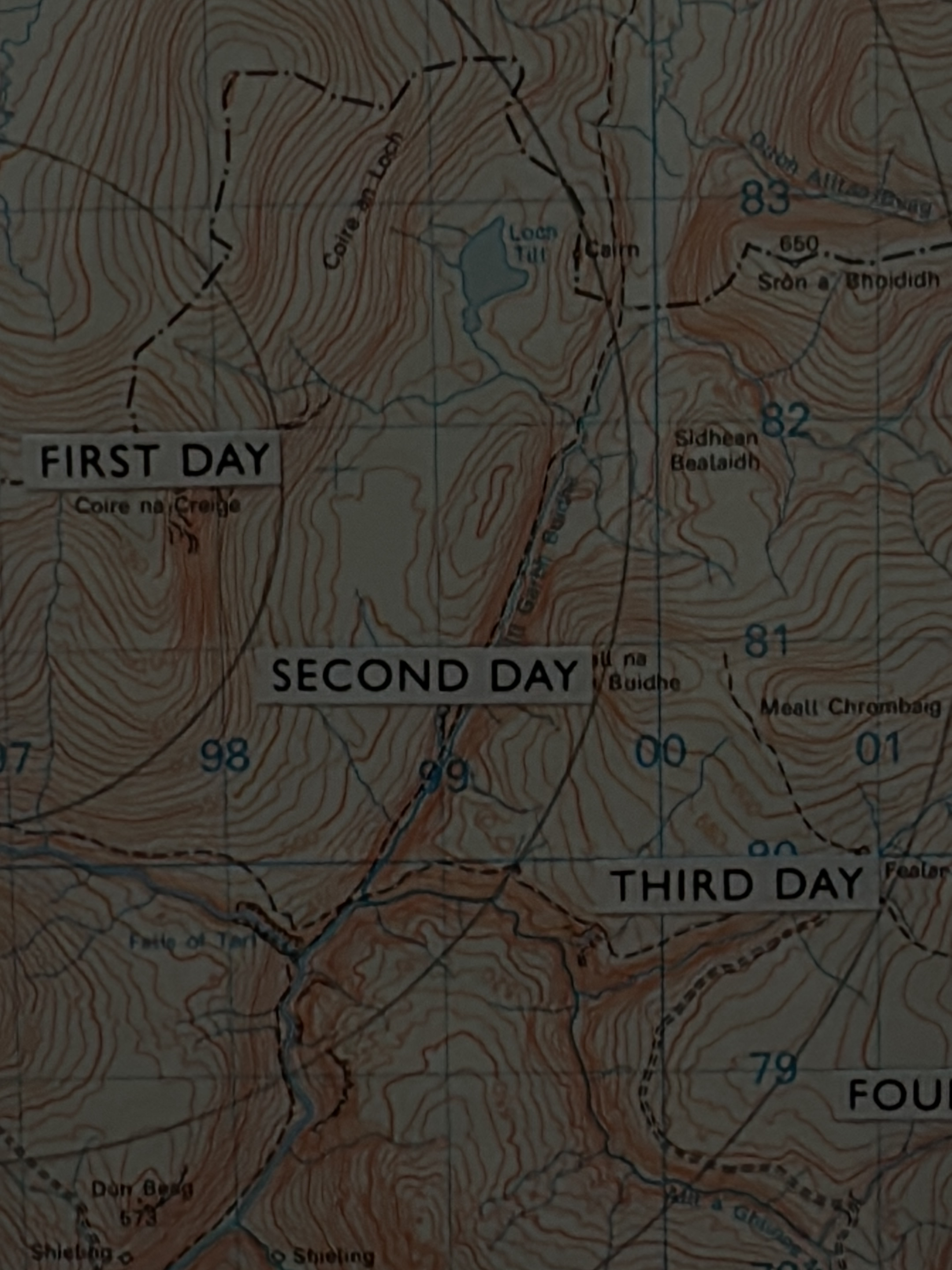
The image displays a close-up section of a topographic map, characterized by shades of brown for land contours, light blue for water features, and a grid overlay. The map detail reveals a rugged, mountainous or hilly environment featuring numerous contour lines indicating elevation changes. Several bodies of water are present, notably "Loch Tilt" and "Coire an Loch", with associated rivers and streams. Place names, primarily in Scottish Gaelic, are visible, including "Coire an Loch", "Loch Tilt", "Cairn", "Sròn a' Bhoididh", "Sidhean Beataidh", "Meall Chrombaig", "Coire na Creige", "Don Beag" (with an elevation of 673), and "Shieling". Grid references are marked with numbers such as "97", "98", "99", "00", "01", "83", and "82". Dashed lines delineate paths or boundaries, with large text overlays indicating a multi-day route: "FIRST DAY", "SECOND DAY", "THIRD DAY", and a partial "FOUR" (likely "FOURTH DAY"). No people are depicted. The environment is natural and uninhabited, representative of highland terrain. Based on the specific place names, the depicted location is in the Scottish Highlands and is not within the city of London, United Kingdom.
Loading AttnAds…
No transactions found