Stake attention in this memory
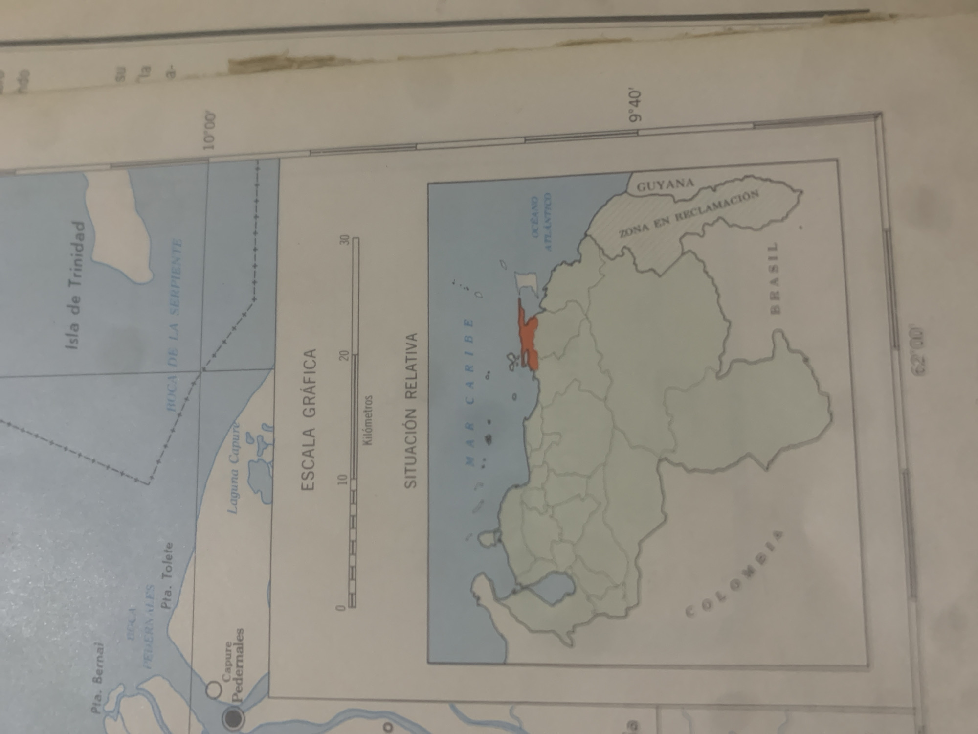
This is a cropped image of a map, likely from an atlas or a geographical publication. The map focuses on the northeastern coast of South America, specifically Venezuela and surrounding regions. The primary subject is a geographical map displaying landmasses, bodies of water, and political boundaries. Visible land features include islands, peninsulas, bays, and lakes, with labels such as "Isla de Trinidad," "Laguna Capure," and "Boca de la Serpiente." The map also depicts the "Mar Caribe" (Caribbean Sea) and the "Océano Atlántico" (Atlantic Ocean). Several locations are labeled with place names, including "Pta. Bernai," "Pta. Tolete," "Capure Pedernales," and "Pedernales." The map includes a scale bar labeled "ESCALA GRÁFICA" (Graphic Scale) with units in "Kilómetros" (Kilometers), indicating distances. There are also textual annotations that provide geographical context and political information. These include country names like "GUYANA" and "BRASIL," and a phrase indicating a disputed territory: "ZONA EN RECLAMACIÓN" (Zone in Reclamation). The region labeled "COLOMBIA" is also visible. Latitude and longitude lines are present, with coordinates like "10°00′" and "9°40′" marking specific locations. The overall scene is one of cartographic representation, devoid of any human activity or natural environmental conditions like time of day or weather. The focus is solely on the geographical and political depiction of the area. The map appears to be printed on paper, and the image is a close-up, with some edges and portions of the surrounding document visible.
Loading AttnAds…
No transactions found





