Stake attention in this memory
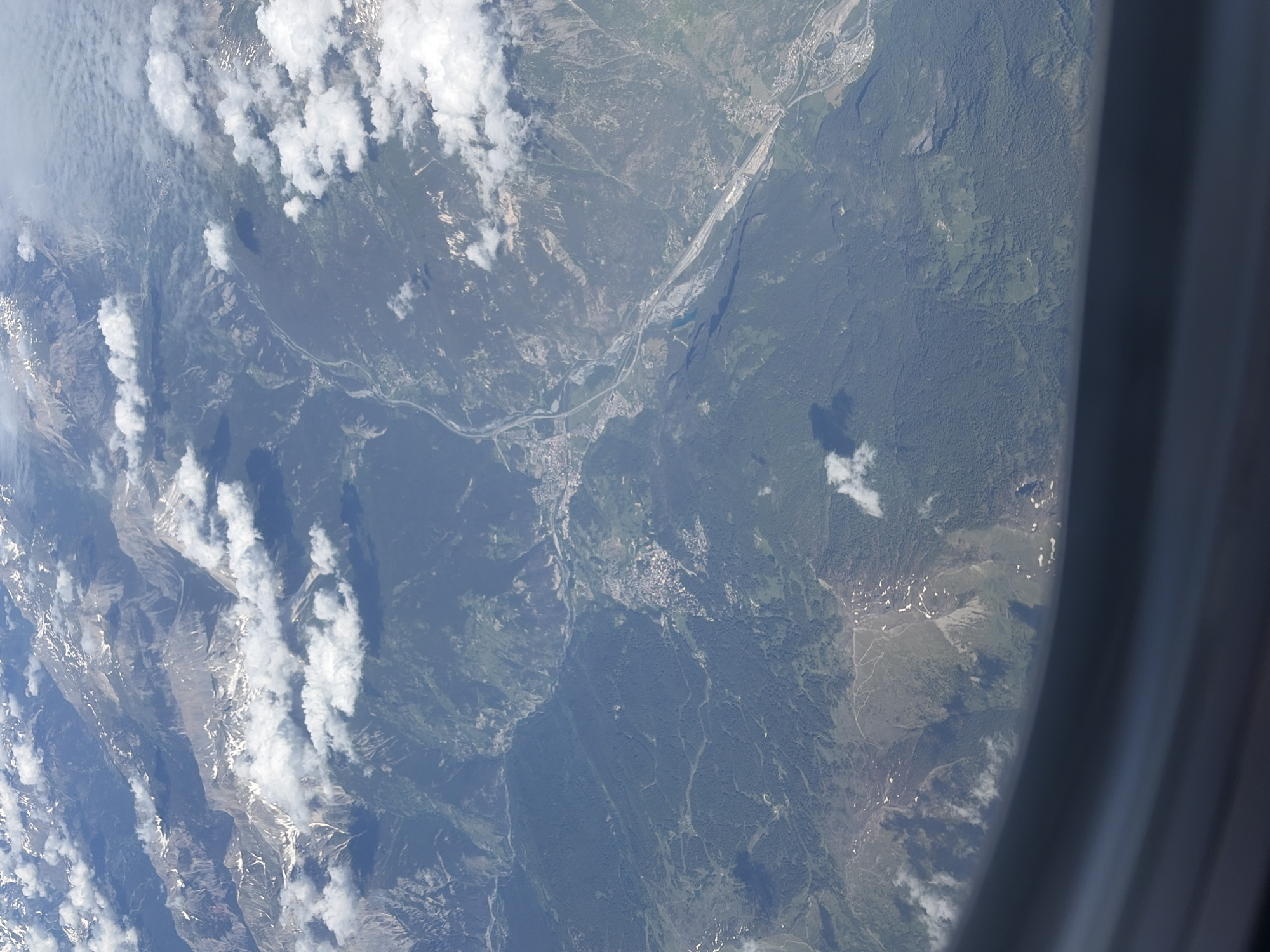
This detailed aerial image, captured from an aircraft window with a partial view of the window frame visible at the bottom, depicts a vast mountainous landscape in the region of Usseaux, Italy, and its surroundings. The scene is dominated by rugged, snow-capped peaks in the upper left, transitioning into densely forested slopes and deep valleys. A prominent, wide valley traverses the central and right portions of the image, featuring a winding river, likely the Dora Riparia or a tributary, which appears as a light grey ribbon. Parallel to the river, a major multi-lane highway or autostrada with associated infrastructure, including bridges and interchanges, cuts through the valley floor. Several settlements and towns, characterized by clusters of small, light-colored buildings, are visible along the riverbanks and highway, extending up the lower slopes of the mountains. The majority of the non-rocky terrain is covered by dense, dark green coniferous forests, interspersed with lighter green clearings or meadows on gentler slopes. Scattered patches of residual snow are visible on the higher mountain peaks and some upper slopes, suggesting a late spring or early summer timeframe. Numerous white, fluffy cumulus clouds are dispersed across the sky, casting distinct shadows upon the mountainsides and forested areas below. The overall visibility is clear, allowing for sharp detail of the terrain, infrastructure, and atmospheric elements. No people or animals are discernible at this altitude.
No transactions found
More from this user