Stake attention in this memory
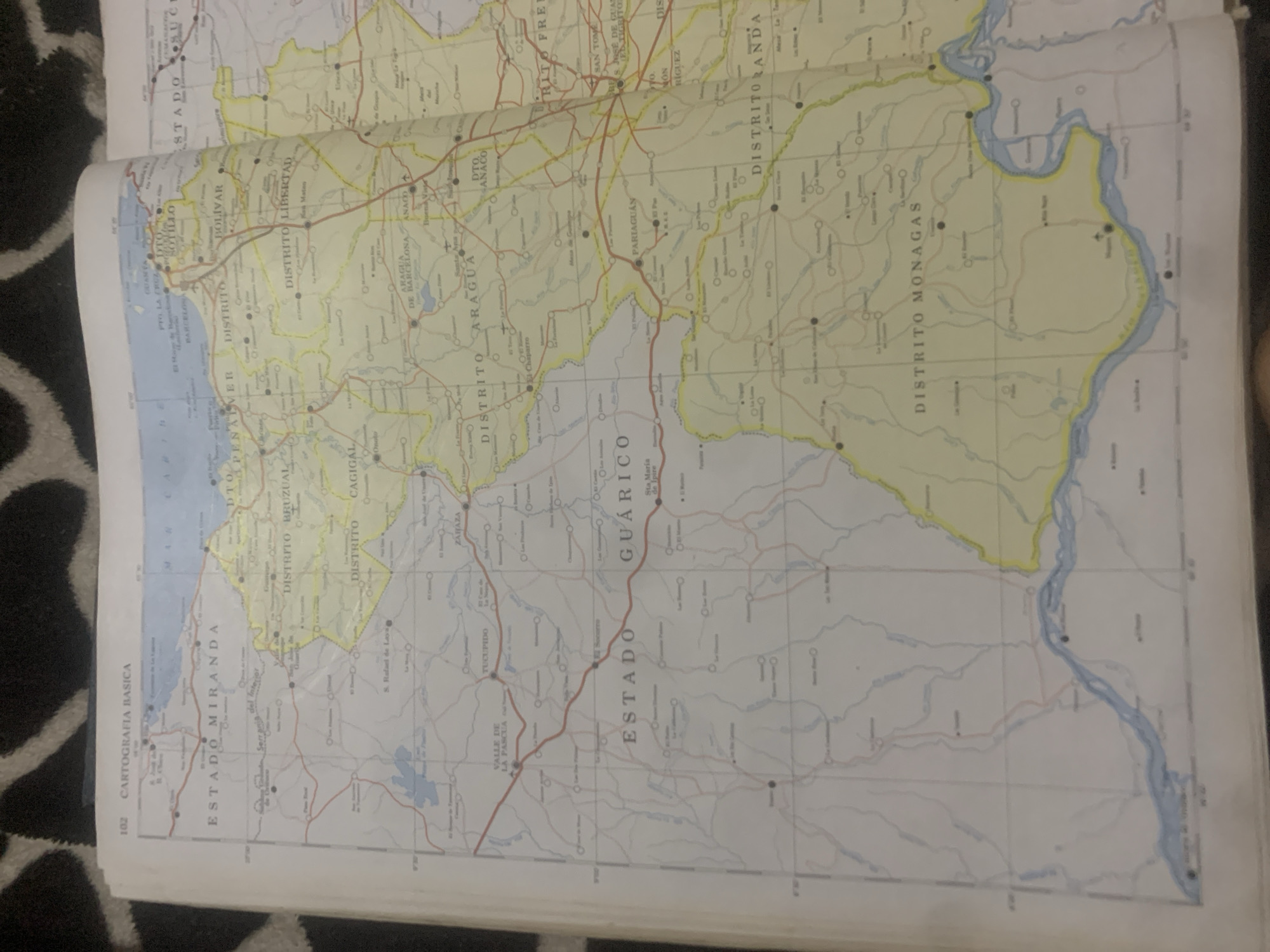
This is a photograph of an open map book, likely an atlas, showing a section of Venezuela. The map displays state and district boundaries, cities, towns, and geographical features such as rivers and bodies of water. The top left corner of the map has the text "102 CARTOGRAFIA BASICA". The map details several states and districts, including: ESTADO MIRANDA, DTO. BENITO MERIB, DISTRITO, ESTADO GUÁRICO, DISTRITO BRUZUAL, DISTRITO LIBERTAD, DISTRITO CAGIGAL, VALLE DE LA PASCUA, TUCUPIDO, ARAGUA DE BARCELONA, ANACO, DTO. ANACO, ESTADO SUCRE, and DISTRITO MONAGAS. A large river runs through the bottom of the visible map area, which appears to be the Orinoco River Delta. The city of La Tagua is located within the ESTADO GUÁRICO and specifically within the DISTRITO RANDA. On the map, La Tagua is marked with a small circle with a dot in the center, indicating it is a populated place. It is situated east of the city of Pariaguan and southwest of the city of San Tome.
Symbol
FE4BD
Volume
11,550
Creator
+$0.03
Revenue
+$0.03
TVL
$2.39
Loading AttnAds…

2

Rev Bot 🤖💰
Injected revenue 2mo ago
“Revenue bonus for the last stake.”
+$0.04 USD





