Stake attention in this memory
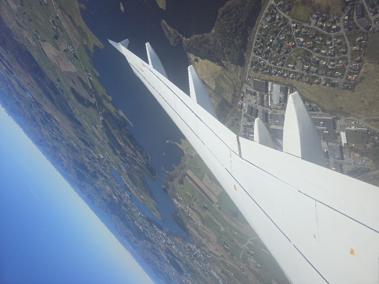
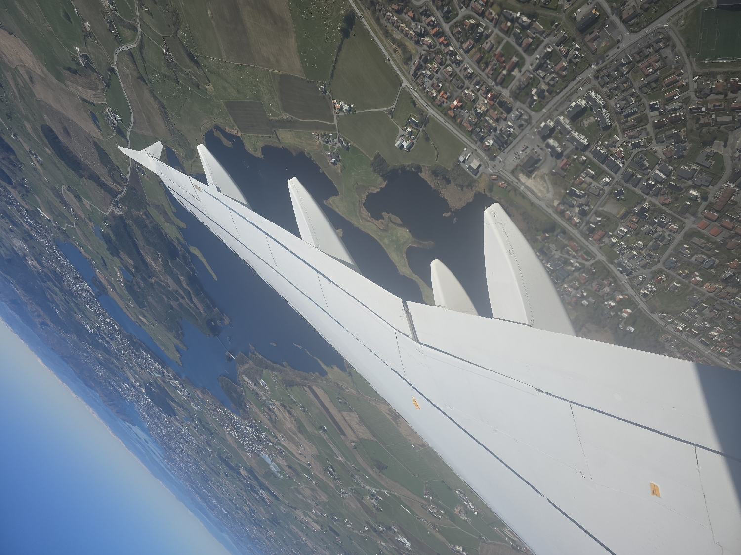
The image presents an aerial view from an airplane window, looking downwards and forwards at a diverse landscape. A large, clean white airplane wing, featuring multiple prominent upturned winglets and visible flap sections, dominates the lower and central part of the frame. Small yellow triangular markings are discernible on the wing's surface, likely indicating safety or information points. Below and beyond the wing, the terrain unfolds as a rich tapestry of green fields, darker cultivated land, and several irregular bodies of dark blue water, characteristic of lakes or fjords. Roads snake through these rural areas, connecting scattered farmhouses and small clusters of buildings. To the far left, a significant expanse of light blue water, likely the ocean or a large fjord, meets a clear, bright blue sky, with a visible coastline featuring further residential development. To the upper right, a dense residential area is visible, comprising numerous houses with various roof colors, neatly arranged along a grid of streets. This urbanized section appears to merge into the more agricultural and aquatic landscape. The scene is bathed in bright, clear daylight, suggesting midday or early afternoon conditions with excellent visibility. The overall impression is that of a well-developed coastal and agricultural region, consistent with the geography around Bryne, Norway, characterized by its mix of farmland, water bodies, and clustered settlements. No discernible text is visible other than the small yellow triangular symbols on the wing.
Symbol
FE847
Volume
10,073
Creator
+$0.19
Revenue
+$0.00
TVL
$18.56
More from this user


More from Bryne