Stake attention in this memory
curiosity
nostalgia
exploration
adventure
discovery
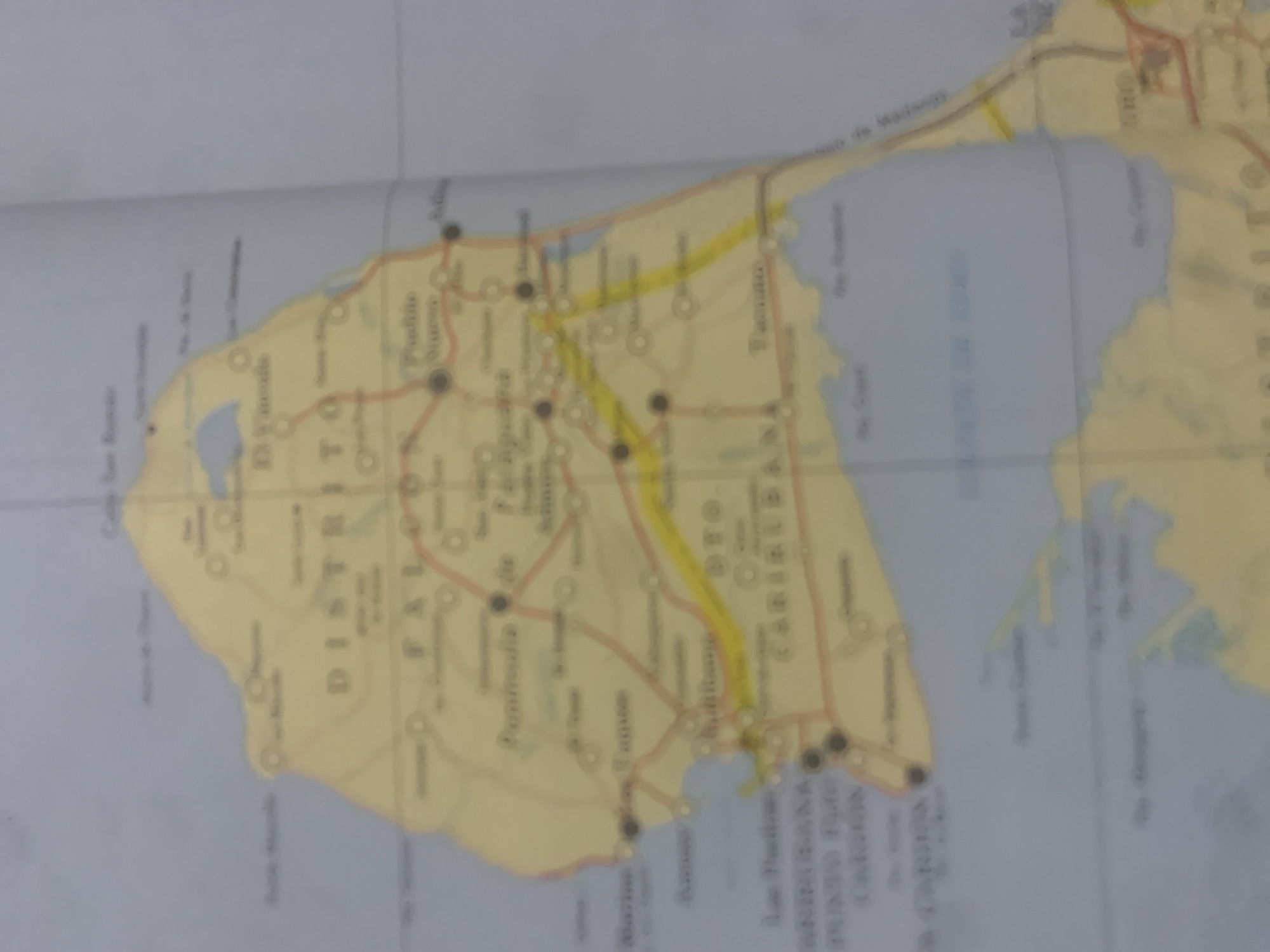
The image is a blurry map of the La Guaira region of Venezuela, specifically focusing on the Distrito Capital and surrounding areas. The map shows a peninsula with various towns, roads, and bodies of water. Several place names are visible, including "DISTRITO", "FAL", "Peninsula de", "La Tagua", "Caribe", and "Vigía". There are also indications of roads connecting these locations, some marked with yellow. The overall impression is of a geographical representation of a coastal area with urban and natural features.
Symbol
FEA05
Volume
0
Creator
+$0.03
Revenue
+$0.00
TVL
$0.00
1D
1W
1M
All
Loading AttnAds…
transactions
revenues
stakers
Earliest
Latest
Highest stake

2

Rev Bot 🤖💰
Injected revenue 2mo ago
“Revenue bonus for the last stake.”
+$0.06 USD





