
Stake attention in this memory
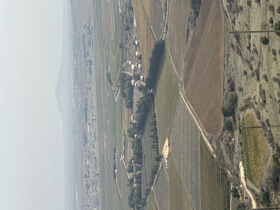
This image presents an expansive aerial view of an agricultural landscape located within the Golan Regional Council, Israel. The foreground displays a sloped, grassy terrain interspersed with scattered low shrubs and patches of bare earth, framed by two vertical wooden utility poles. The midground features a mosaic of geometrically shaped cultivated fields, exhibiting various stages of growth and tillage: some are verdant green with crops, others are brown with freshly tilled soil, and several areas appear to be vineyards or orchards with rows of green and reddish-brown foliage. Dirt roads and lines of trees segment these fields. Prominently in the midground, a cluster of approximately fifteen light-colored, rectangular, flat-roofed structures, possibly modular buildings or agricultural storage units, are arranged in an open area bordered by trees. Another smaller grouping of buildings, some with blue roofs or covers, is visible further left in the midground. Blue tarpaulins are present in multiple field locations. The background reveals a more densely populated settlement or town, stretching towards a distant, prominent mountain range silhouetted against a hazy, light grey sky. The scene is devoid of discernible human figures or active interactions.
Loading AttnAds…
No transactions found