
Sign in
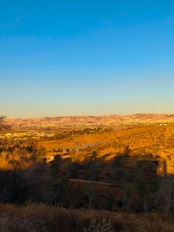
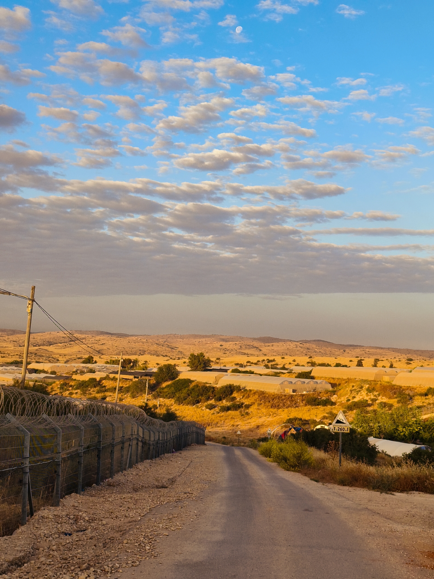
The image depicts a rural landscape during either sunrise or sunset, bathed in warm, golden light. The upper half of the frame is dominated by a vibrant blue sky filled with numerous scattered white and light-gray stratocumulus clouds. A faint crescent moon is visible in the upper left portion of the sky.

Below the horizon, the terrain consists of rolling, arid hills covered in dry, golden-brown vegetation, interspersed with green shrubs and trees. Across these hills, many white, tunnel-shaped structures, likely agricultural greenhouses or polytunnels, are visible, indicating farming activity.

In the foreground on the left, a tall metal fence topped with multiple coils of barbed wire (concertina wire) stretches along the side of a descending asphalt road. A utility pole with wires is also visible on the left. The road, partially gravel on its edges, curves gently to the right as it leads further into the landscape. On the right side of the road, a yellow triangular road sign is present, displaying "12%" and "1.260.1", likely indicating a steep downward grade and a route or distance marker. The scene captures an agricultural area within the Lachish Regional Council, Israel, combining natural beauty with human infrastructure.
EnergiZen

Jun 4, 2026, 3:13 AM

Lachish Regional Council, Israel

Moment

Stake attention in this memory

hopeful
serene
pensive
melancholy
tranquil

The image depicts a rural landscape during either sunrise or sunset, bathed in warm, golden light. The upper half of the frame is dominated by a vibrant blue sky filled with numerous scattered white and light-gray stratocumulus clouds. A faint crescent moon is visible in the upper left portion of the sky. Below the horizon, the terrain consists of rolling, arid hills covered in dry, golden-brown vegetation, interspersed with green shrubs and trees. Across these hills, many white, tunnel-shaped structures, likely agricultural greenhouses or polytunnels, are visible, indicating farming activity. In the foreground on the left, a tall metal fence topped with multiple coils of barbed wire (concertina wire) stretches along the side of a descending asphalt road. A utility pole with wires is also visible on the left. The road, partially gravel on its edges, curves gently to the right as it leads further into the landscape. On the right side of the road, a yellow triangular road sign is present, displaying "12%" and "1.260.1", likely indicating a steep downward grade and a route or distance marker. The scene captures an agricultural area within the Lachish Regional Council, Israel, combining natural beauty with human infrastructure.

Symbol

FFFE0

Volume

0

Creator

+$0.07

Revenue

+$0.00

TVL

$0.00

1D
1W
1M
All

Loading AttnAds…

transactions
revenues
stakers
Earliest
Latest
Highest stake

1

Katerina and Archie 🐶

Staked 1mo ago
Redeemed 1mo ago

$5.72 USD

+$0.05 USD

Fee: $0.01 (0.25%)

+0.9%

2

Rev Bot 🤖💰

Injected revenue 1mo ago

Revenue bonus for the last stake.

+$0.14 USD

More from this user

More from Lachish Regional Council

EnergiZen

Jun 4, 2026, 3:13 AM

Lachish Regional Council, Israel

Licensed under Creative Commons Attribution 4.0 International License. You are free to share and adapt this content with proper attribution.