Cano Negro, Venezuela
18 memories from Cano Negro, Venezuela
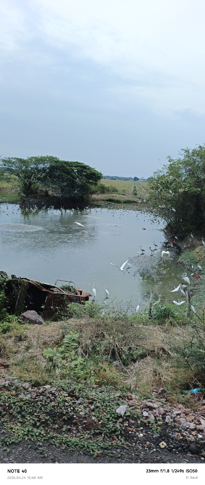
A wide-angle photograph presents a natural landscape depicting a body of water, likely a pond or small lake, under an overcast or lightly clouded sky. The image was captured in the late morning, at 10:48 AM on April 24, 2026, in a location referenced as "El Baul," consistent with the wetland environments found in Cano Negro, Venezuela. The foreground consists of an unpaved area covered with rocks, dry grass, and creeping green vegetation, with a blue plastic bottle visible on the far right. In the mid-ground, the calm water reflects the sky, with some surface vegetation. On the left bank of the water, a heavily rusted and decaying metal structure, possibly the remains of a vehicle or boat, lies partially submerged and overgrown with lush green plants. The scene is teeming with birdlife. Numerous white egrets are scattered throughout, standing in the shallow water, perched in the dense green trees that flank the left side of the pond, and flying with outstretched wings above the water. A striking contrast is provided by several vibrant red birds, likely Scarlet Ibises, visible on the right bank of the water, alongside more egrets and a few darker-feathered birds. Beyond the water on the right, a narrow dirt path or track extends into the distance, lined with sparse bushes and simple wooden posts, leading towards a distant horizon. The overall impression is one of a thriving natural ecosystem, slightly touched by human presence through the abandoned object and litter. Visible text includes "NOTE 40," "2026.04.24 10:48 AM," "23mm f/1.8 1/249s ISO50," and "El Baul."
Cano Negro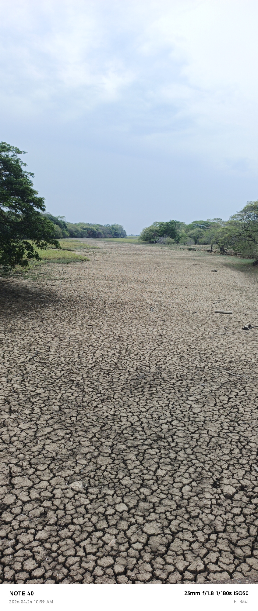
The media file displays a wide, arid landscape, characteristic of a severely dried-up riverbed or lakebed. The main subject is the vast expanse of parched, cracked earth, extending from the foreground into the distance. The cracked soil exhibits intricate patterns, indicating prolonged drought and lack of moisture. Flanking both sides of the dried-up waterway are dense lines of green trees and shrubs, forming a natural boundary. A large, leafy tree is prominent on the left side in the foreground, partially casting a shadow onto the cracked ground. In the middle distance, small patches of what appears to be dried or sparse green vegetation can be seen interspersed with the cracked earth. A few small, weathered logs or branches are scattered on the dry ground, particularly on the right side. The sky above is a pale, slightly hazy blue with scattered, light cloud cover, suggesting an overcast or partly cloudy daytime. There are no people or animals visible, reinforcing the desolate atmosphere. Visible text in the bottom left corner includes "NOTE 40" and the date "2026.04.24 10:39 AM". In the bottom right corner, camera settings are listed as "23mm f/1.8 1/180s ISO50," followed by the location "El Baul," which, combined with the provided context, places the scene in Cano Negro, Venezuela. The image captures the stark reality of environmental conditions, likely during a dry season or drought, impacting the region.
Cano Negro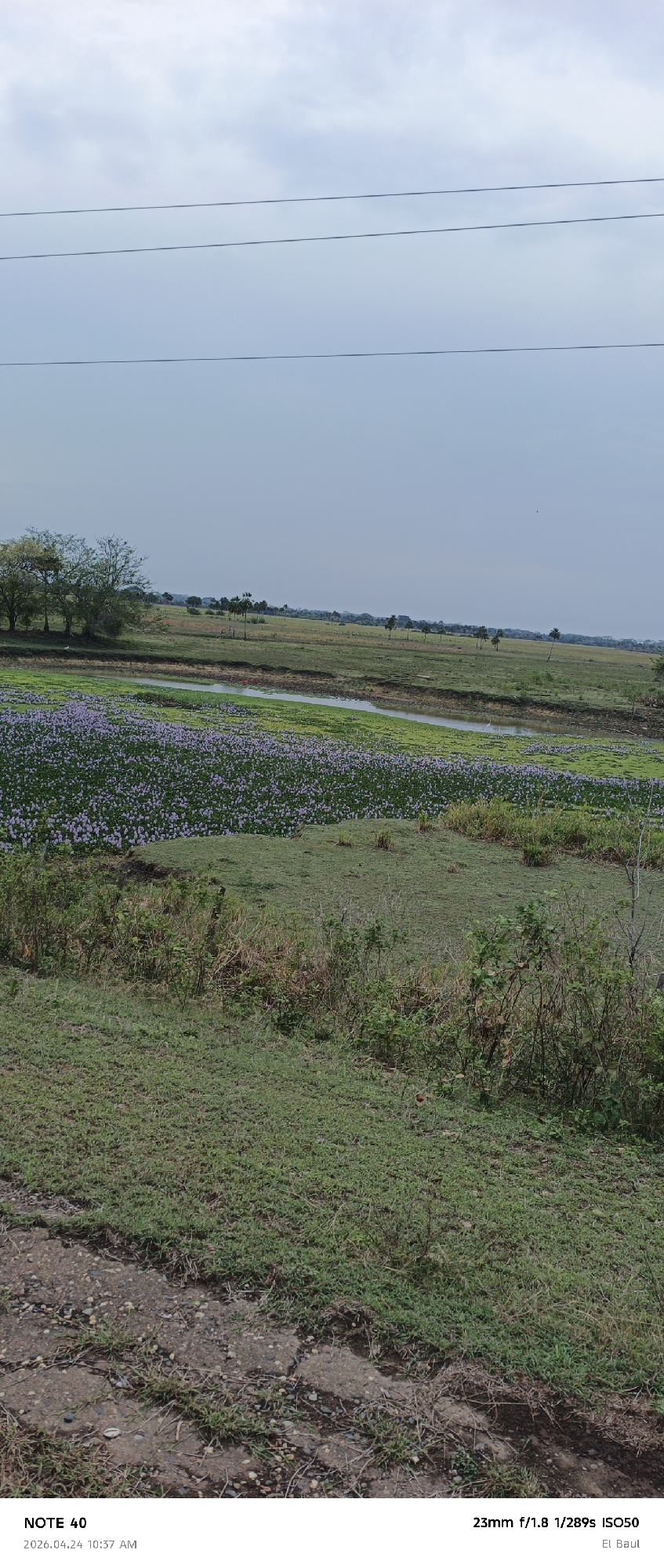
A wide-angle landscape photograph captures a verdant, rural scene, likely in the Venezuelan llanos, specifically identified as "El Baul." The image was taken on "2026.04.24 10:37 AM" with camera settings "23mm f/1.8 1/289s ISO50." In the foreground, a rough, gravelly patch of ground with some cracked sections is interspersed with green grass, possibly indicating a dirt road or path. The midground is dominated by a body of water, appearing to be a river or wetland, almost entirely blanketed by a dense expanse of purple-flowering aquatic plants, strongly resembling water hyacinths. A narrow strip of open water is visible within this purple carpet, where a small white bird, likely an egret, stands. Beyond the water, the background consists of undulating green terrain stretching towards the horizon, dotted with scattered trees, some appearing to be palm trees, and more distant patches of dense foliage. The sky above is a pale, overcast blue-grey, suggesting a cloudy day. Three thin, dark utility wires traverse horizontally across the upper third of the sky. The overall impression is one of tranquil natural beauty, highlighting the extensive bloom of aquatic vegetation in a expansive landscape.
Cano Negro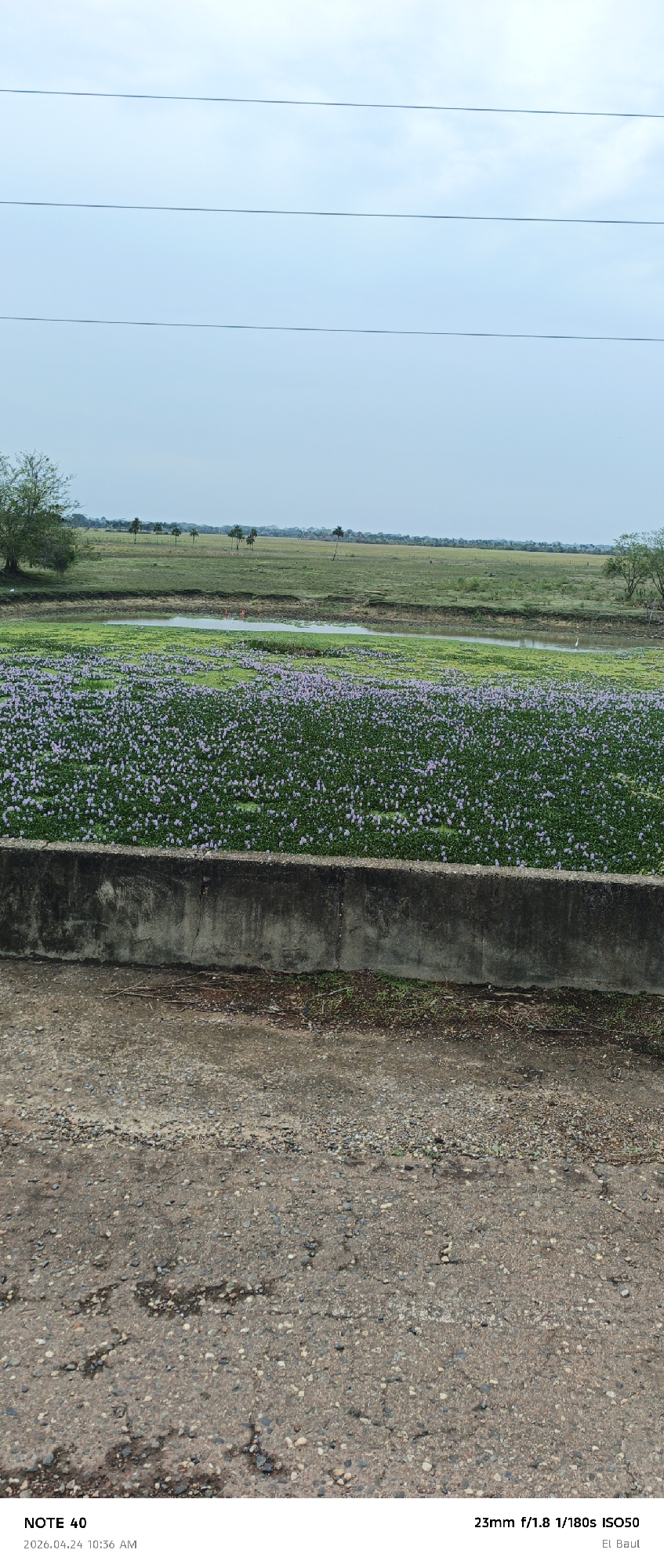
This media file presents an expansive natural landscape, likely a wetland or a flood plain, under a bright, overcast sky. The foreground features a rough, gravelly dirt road, immediately followed by a low, weathered concrete barrier. Beyond the barrier, the midground is dominated by a large body of water densely covered with lush green aquatic plants bearing numerous small, delicate purple flowers, resembling water hyacinths. A narrow channel of open water winds through these plants, where several bright orange-red birds, possibly Scarlet Ibis, and a single white bird, likely an egret, are visible. In the background, vast green grasslands extend towards the horizon, punctuated by scattered trees, some appearing as palms, leading to a distant tree line. Three thin power lines stretch horizontally across the light blue, cloudy sky in the upper portion of the frame. The scene captures a tranquil natural environment, possibly a wildlife habitat, with no direct human activity depicted other than the infrastructure of the road and power lines. The lighting suggests late morning, consistent with the visible timestamp. Visible text includes: "NOTE 40," "2026.04.24 10:36 AM," camera settings "23mm f/1.8 1/180s ISO50," and "El Baul." The provided location context is Cano Negro, Venezuela.
Cano Negro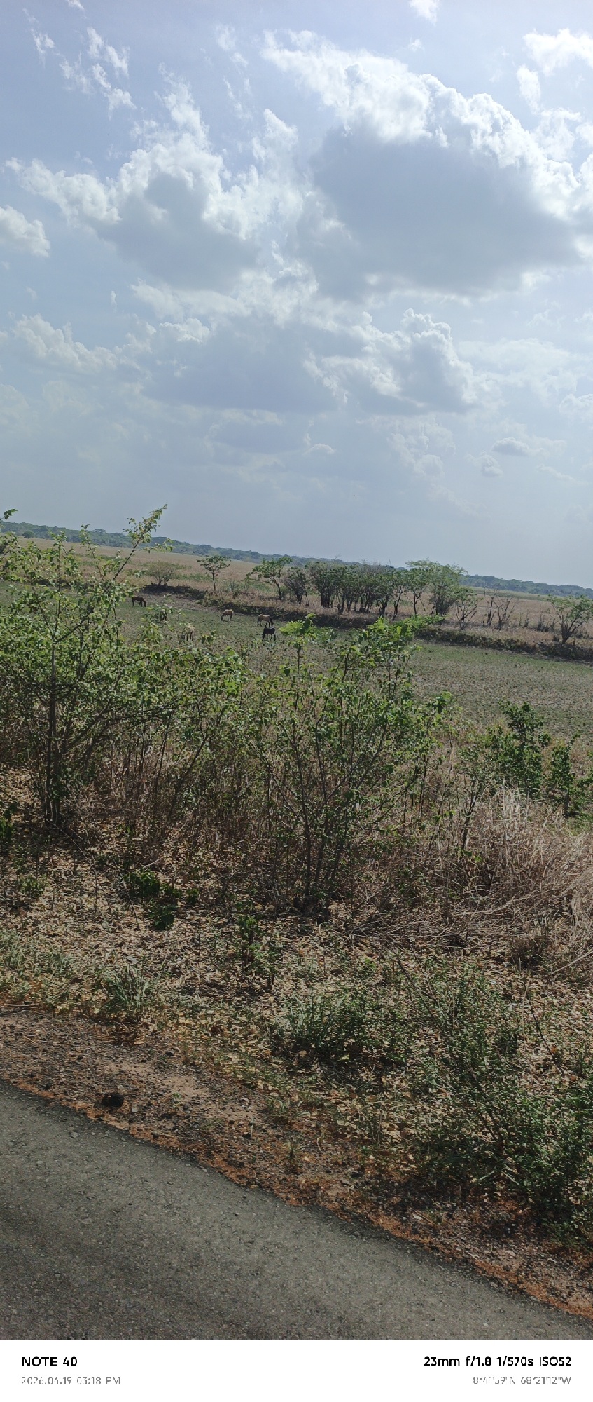
The image shows a rural landscape in Cano Negro, Venezuela, captured on April 19, 2026, at 3:18 PM. A paved road runs along the left edge of the frame. The foreground features dry vegetation and sparse greenery. In the middle distance, a grassy plain with scattered trees is visible, populated by several horses grazing. The sky is partly cloudy, with blue patches showing through the white clouds. The camera settings indicate a 23mm lens, an aperture of f/1.8, a shutter speed of 1/570 seconds, and an ISO of 52. The GPS coordinates at the bottom read 8°41'59"N and 68°21'12"W.
Cano Negro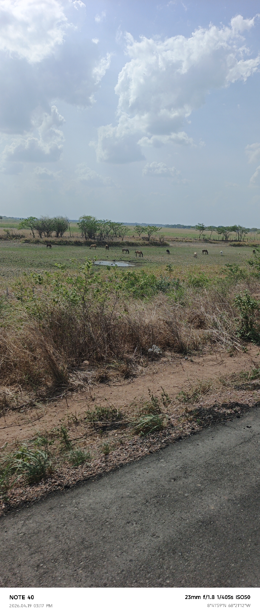
The image shows a rural landscape in Cano Negro, Venezuela. In the distance, a group of horses is grazing near a small pond surrounded by scattered trees. The foreground features dry grass and vegetation leading to a paved road. The sky is partially cloudy with blue patches. The photo was taken with a 23mm lens at f/1.8, 1/405s, ISO50, at coordinates 8°41'59"N 68°21'12"W, on April 19, 2026, at 3:17 PM.
Cano Negro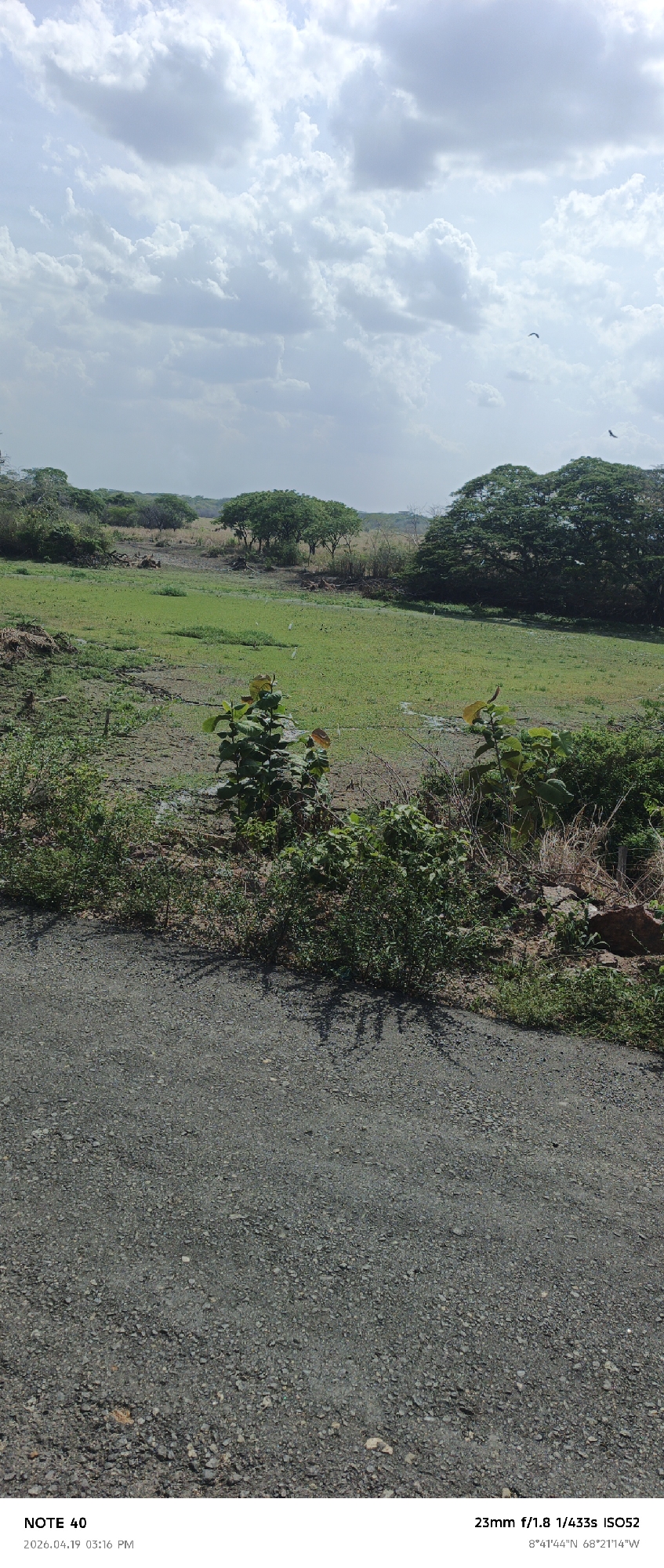
The image depicts a landscape near Cano Negro, Venezuela. The foreground is dominated by a textured asphalt road. Beyond the road, a line of mixed vegetation transitions to a field. The field exhibits both grassy areas and water-logged sections, suggesting a swampy or wetland environment. Sparse trees are visible across the field and dense tree groupings border the field in the background. Two birds fly overhead. The sky is partly cloudy. The image capture details, including date, time, GPS coordinates, and camera settings, are overlaid at the bottom.
Cano Negro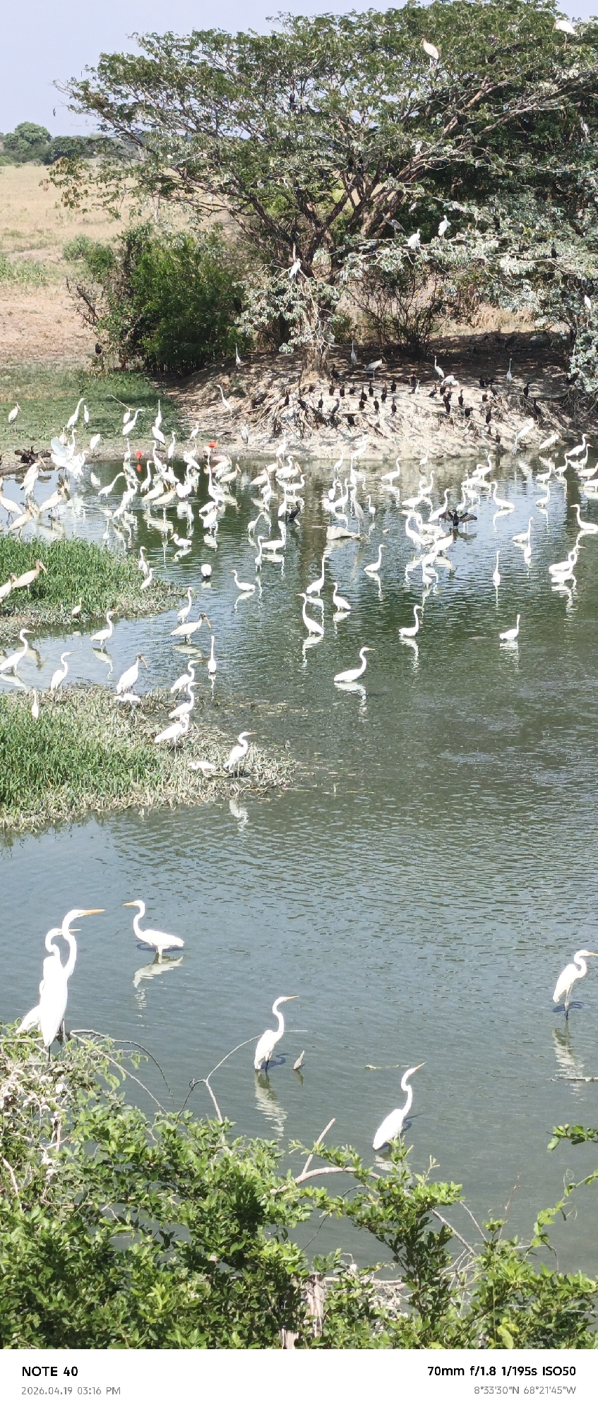
The image captures a scene in Cano Negro, Venezuela, showcasing a body of water teeming with a variety of birds. Predominantly, there are numerous white birds, possibly herons or egrets, wading in the water and perched on the grassy patches. Some of the birds are black in color. A dense tree stands at the water's edge, with additional birds perched in its branches and on the ground below. The background features a grassy field. In the foreground, green foliage frames the lower portion of the image. The GPS coordinates indicate the precise location of the scene.
Cano Negro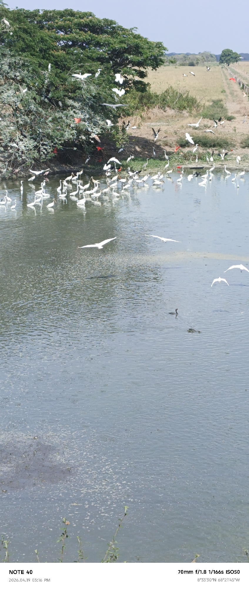
The image depicts a wetland environment in Cano Negro, Venezuela. The scene is dominated by a large body of water, possibly a lake or a wide river, with visible ripples and algal growth on the surface. Numerous birds are present, including white birds (likely herons or egrets) and scarlet ibis, some flying and others wading at the water's edge or perched in the branches of a large tree on the left side of the frame. In the middle of the body of water, a waterbird and a partially submerged animal, perhaps a turtle, are visible. The background shows a grassy field with a dirt road or path running along its edge, marked by fence posts and a few scattered trees. The photograph was taken on April 19, 2026, at 3:16 PM. The geographic coordinates are 8°33'30"N 68°21'45"W.
Cano Negro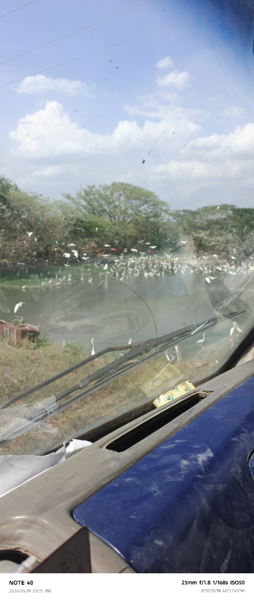
The image, taken from inside a vehicle, shows a view through a dirty windshield with windshield wipers and dashboard in the foreground. The setting is outdoors under a partly cloudy sky. The background features a body of water teeming with numerous white birds, possibly egrets or similar species. Trees line the water's edge, creating a natural backdrop. The location is identified by the embedded metadata as Cano Negro, Venezuela, specifically at coordinates 8°33'30"N 68°21'45"W. Additional text metadata indicates "NOTE 40" with a timestamp of 2026.04.19 03:15 PM, and camera settings: 23mm f/1.8 1/168s ISO50.
Cano Negro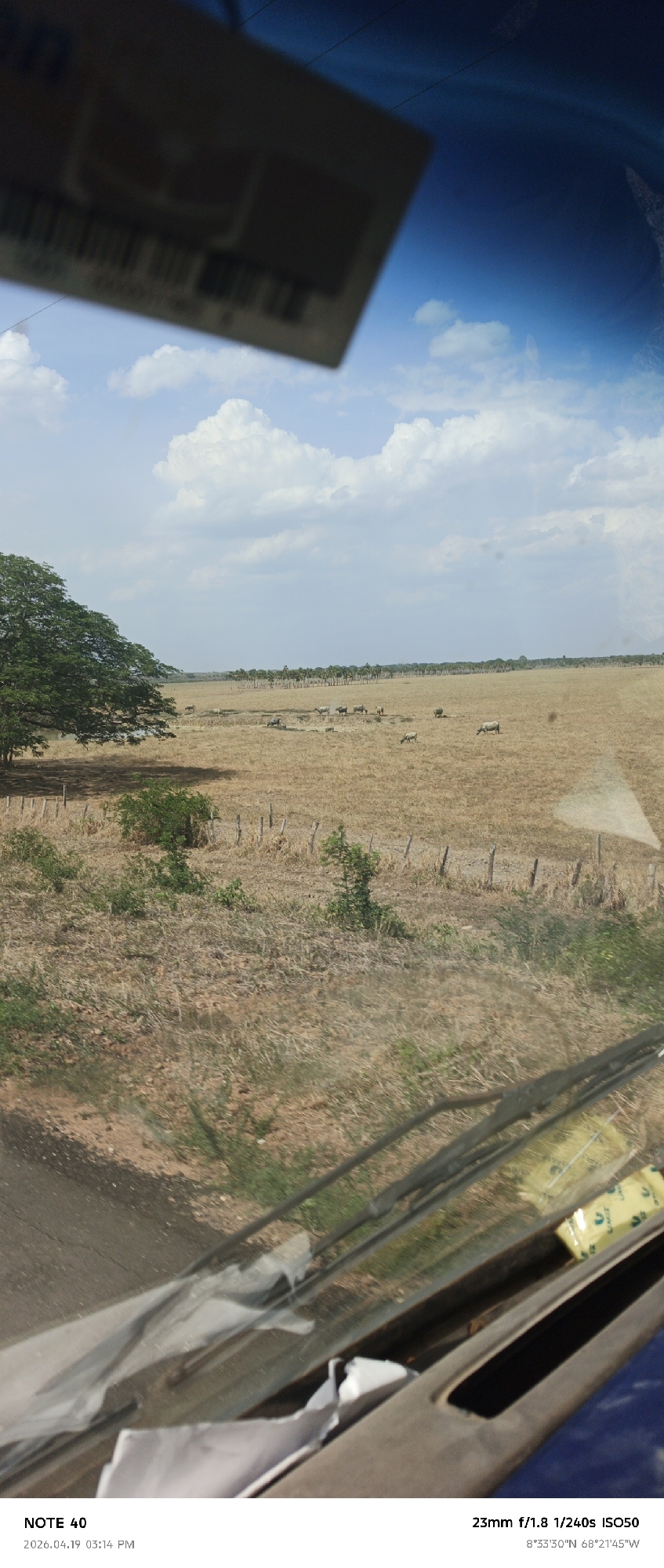
The photograph, taken on April 19, 2026, at 3:14 PM, displays a rural landscape observed through the windshield of a vehicle. The location is Cano Negro, Venezuela, indicated by the geographical coordinates 8°33'30"N 68°21'45"W. In the background, a vast, dry field dominates, sparsely populated with grazing livestock that are likely cattle. A line of trees appears on the horizon, providing a distant backdrop. The sky is partly cloudy. The foreground is partially obscured by the vehicle's interior, including the windshield, dashboard, and various items such as papers and packaging. The image has visible reflections on the windshield, which interfere with the clarity of the scene. The camera settings indicate a 23mm lens, f/1.8 aperture, 1/240s shutter speed, and ISO50.
Cano Negro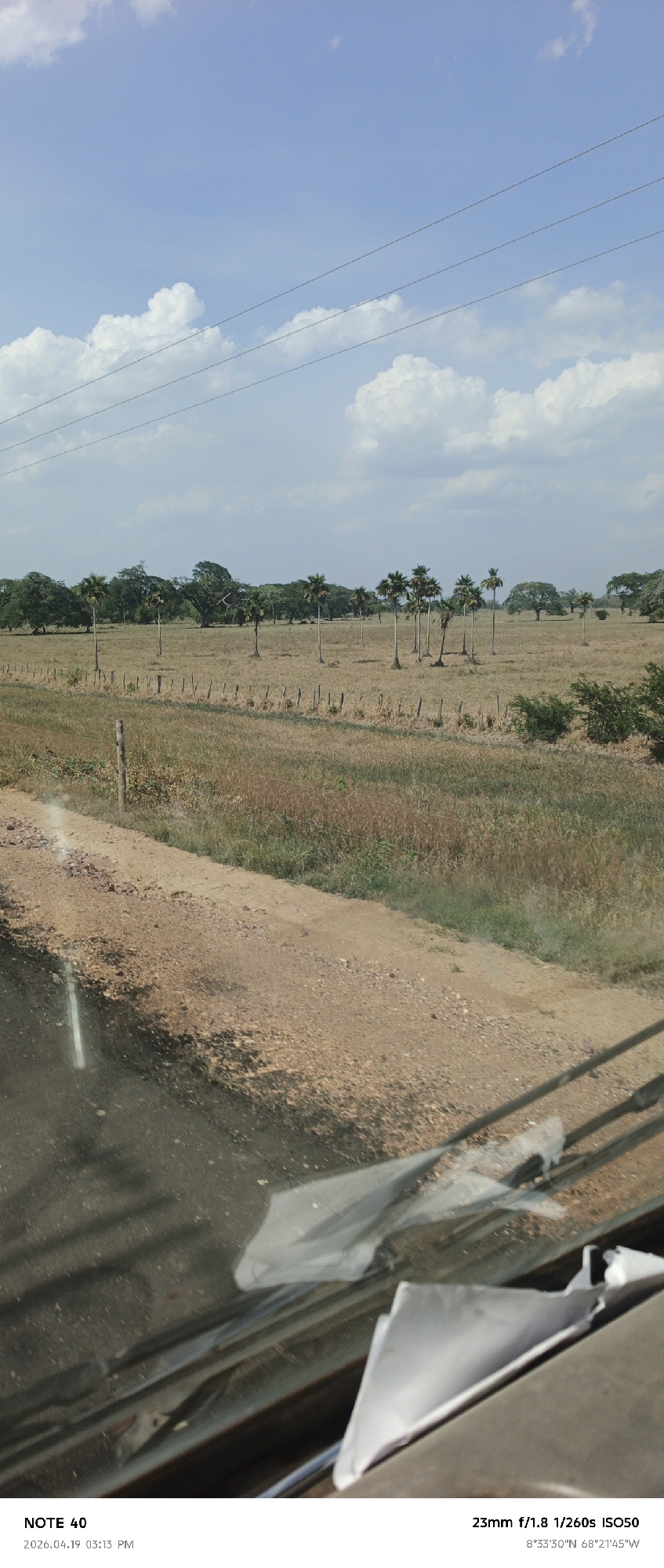
Captured from inside a vehicle on April 19, 2026, at 03:13 PM in what appears to be Cano Negro, Venezuela (8°33'30"N 68°21'45"W), the image shows a rural scene. A field with sparse trees and a simple fence stretches into the distance under a partially cloudy sky. Overhead, power lines cut across the sky. The foreground includes a portion of a dirt road or shoulder, and the interior of the vehicle is visible, including a dashboard with debris or paperwork. The camera settings were 23mm f/1.8 1/260s ISO50.
Cano Negro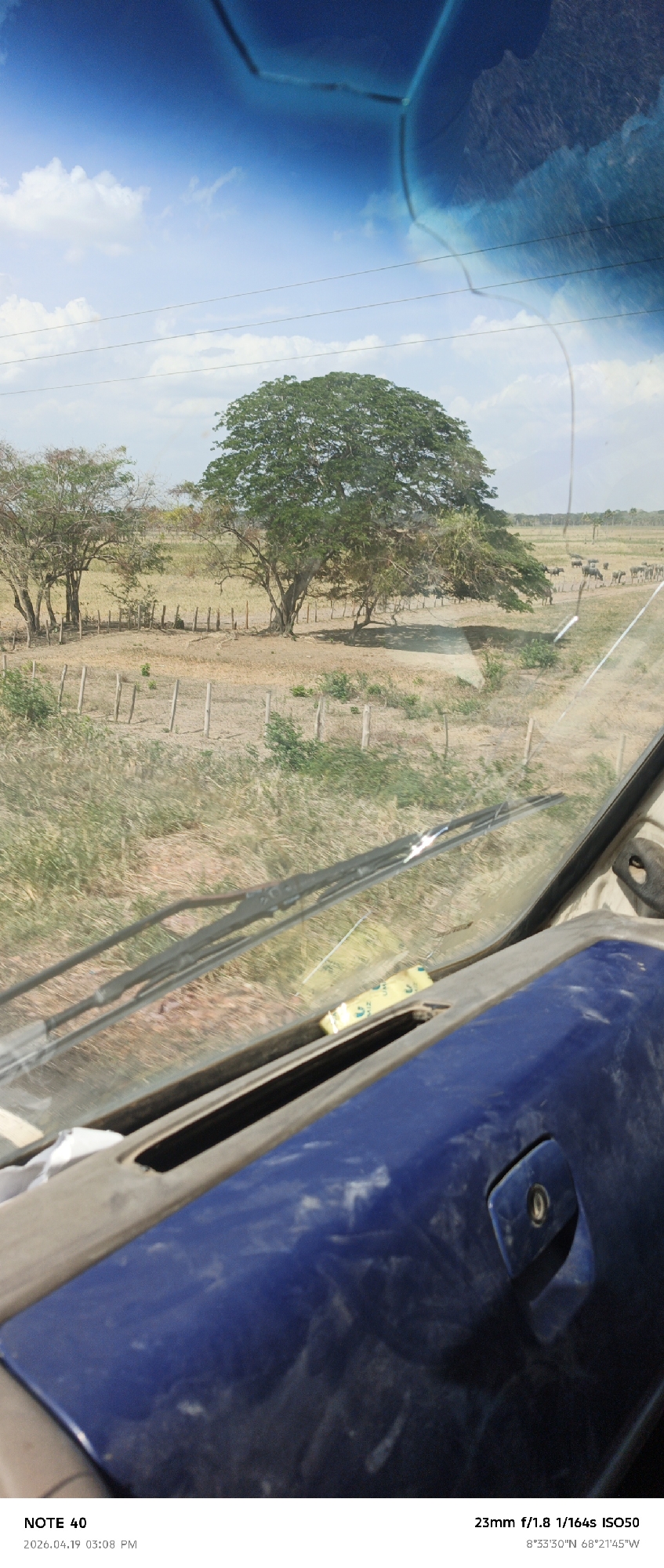
The view from inside a vehicle, possibly a car or truck, shows a rural landscape in Cano Negro, Venezuela. A dirt field is partially enclosed by wooden fences with spaced vertical posts. Several trees are in the field, with one large, full tree in the center. A herd of cattle is visible in the background. The sky is blue with scattered clouds. The foreground includes the vehicle's dashboard and windshield wipers. A yellow object is visible on the dashboard. The image metadata indicates the location is 8°33'30"N 68°21'45"W. The photograph was taken with a 23mm lens at f/1.8, 1/164s, ISO50.
Cano Negro
Captured from a moving vehicle in Tinaco, Venezuela, the image shows a view of the roadside landscape at dusk or dawn. Trees line the horizon under a clouded sky with a hint of light, while a field or open area stretches in between. Parts of the vehicle, including the roof and side mirror, are visible. The road is marked with a white line.
Cano Negro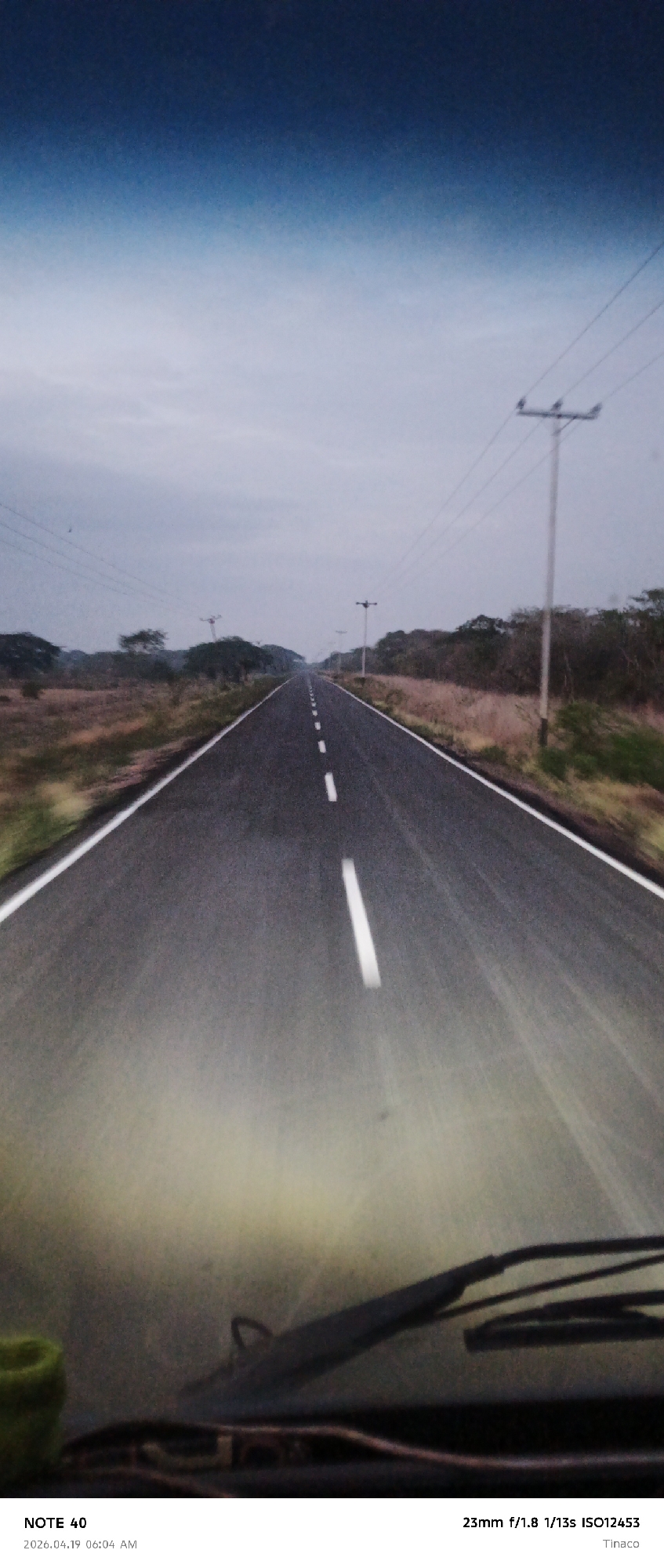
The image depicts a straight, paved road stretching into the distance under a cloudy sky. The road is marked with broken white lines. Sparse vegetation lines either side of the road, with occasional utility poles visible. The photo appears to have been taken from the inside of a vehicle, with the dashboard and windshield wipers visible at the bottom of the frame. According to the metadata in the lower right corner, the location is Tinaco. The metadata in the lower-left corner indicates the date and time are 2026.04.19 06:04 AM. There are no people depicted in the image. The image does not depict the city of Cano Negro, Venezuela.
Cano Negro
The photograph, taken in Tinaco, possibly near Cano Negro, Venezuela, at 6:00 AM on April 19, 2026, displays a landscape at dawn or dusk, viewed from inside a vehicle, evidenced by the side mirror visible on the right. The sky exhibits a gradient of pastel colors, transitioning from a light pinkish-orange near the horizon to deeper shades of purple and gray above, suggesting either sunrise or sunset. Below the horizon is a blurred view of a field or grassy area, possibly agricultural, with dark green patches interspersed with lighter areas. A line of trees or shrubs is silhouetted against the horizon, adding depth to the scene. The image exhibits motion blur, indicating that the photograph was taken while the vehicle was in motion. The camera settings, as indicated in the lower right corner, include a 23mm lens, an aperture of f/1.8, a shutter speed of 1/13s, and an ISO of 17855. The composition is unbalanced, with the foreground dominated by the dark interior of the vehicle and the side mirror. The overall ambiance is dim and muted due to the low light conditions.
Cano Negro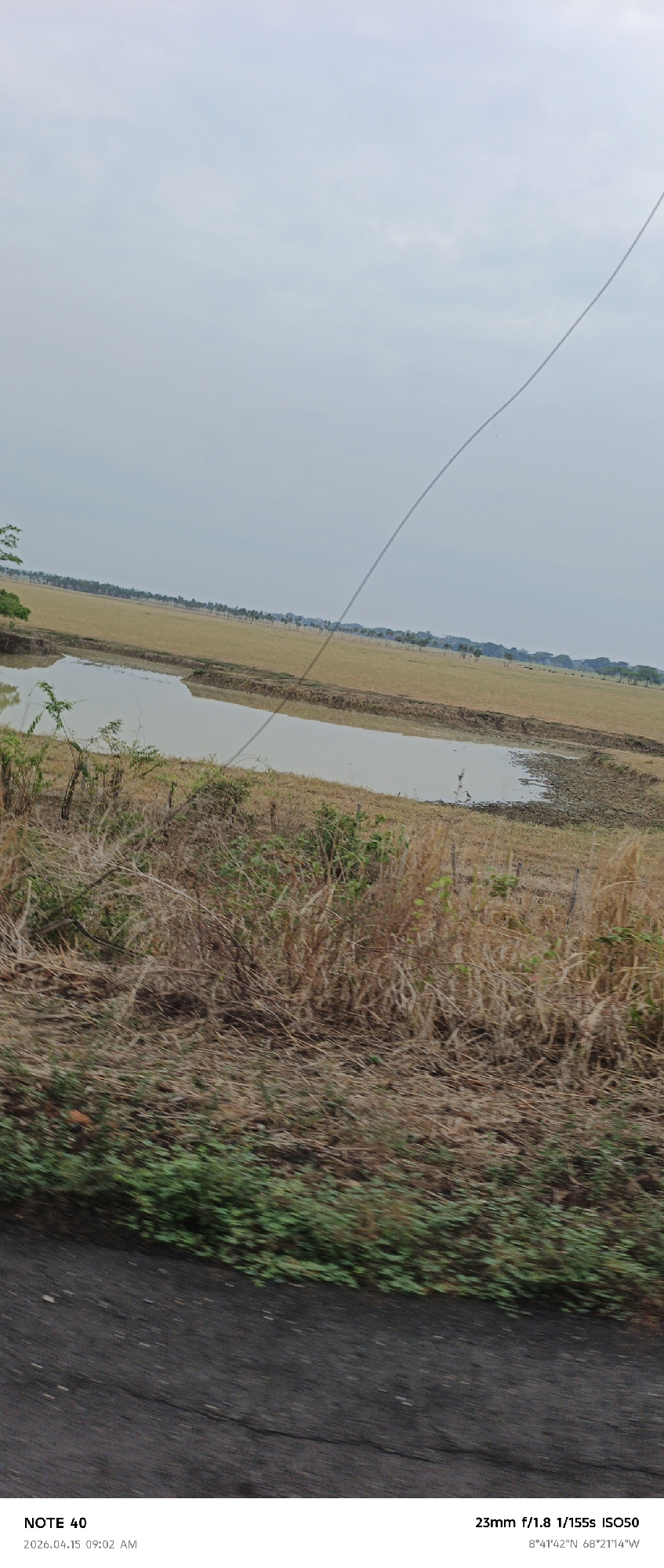
The image shows a rural landscape in Cano Negro, Venezuela (as indicated by the GPS coordinates). The foreground is dominated by dry, brown vegetation and patches of green ground cover, suggesting a roadside view from a moving vehicle. A body of water, possibly a pond or a wetland area, is visible in the middle ground. Beyond the water lies a grassy field with a line of trees in the distance. The sky is overcast and pale. A thin wire, likely a power line, cuts diagonally across the upper portion of the image. The text overlay at the bottom indicates the image was taken with a "NOTE 40" on April 15, 2026, at 09:02 AM, using a 23mm lens, f/1.8 aperture, 1/155s shutter speed, and ISO 50.
Cano Negro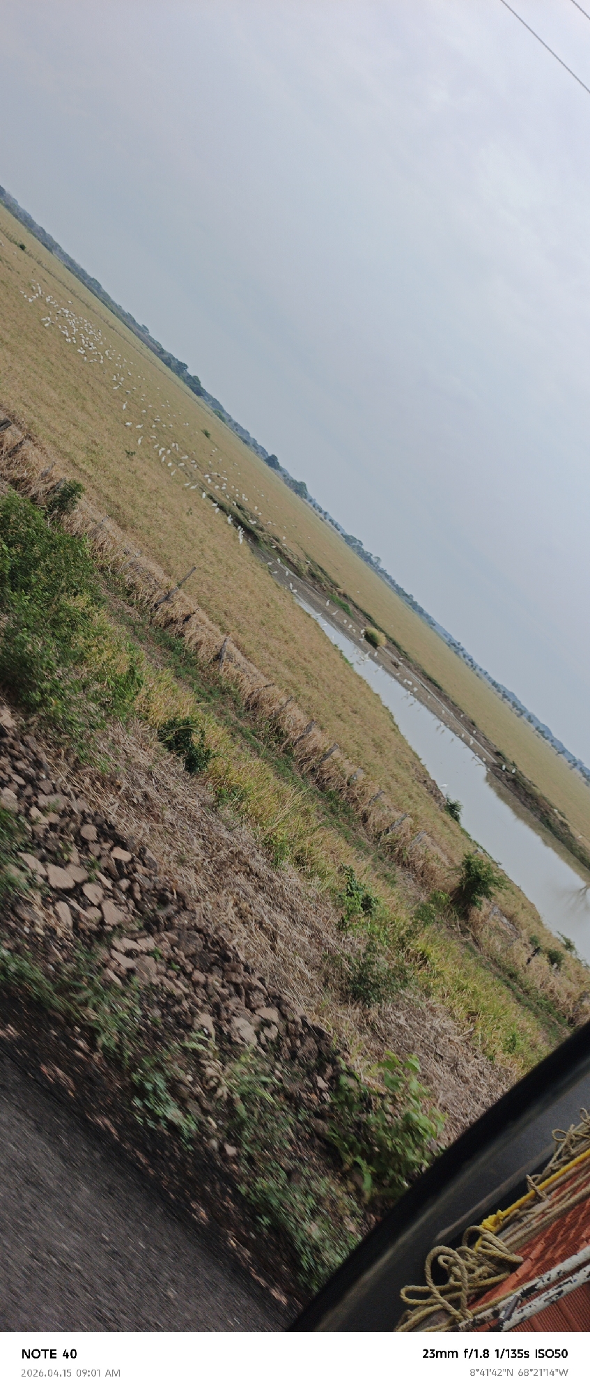
The image captures a scene from what appears to be a moving vehicle in Cano Negro, Venezuela (as indicated by the GPS coordinates). The time of the capture is indicated as April 15, 2026, at 09:01 AM. The photograph was taken with a 23mm lens at f/1.8, a shutter speed of 1/135s, and ISO 50. The foreground is blurred, showing elements of the vehicle's interior, including ropes and possibly a seat. Adjacent to the vehicle's edge, there's a patch of ground with rocks, dry vegetation, and some green foliage. The midground reveals a field with a dry appearance. Dotted across the field are numerous white birds. A narrow body of water is visible in the distance, and beyond that, there's a line of trees. The sky is overcast with a light blue hue. The overall angle of the photograph is tilted, suggesting that it might have been taken while the vehicle was moving on uneven terrain.
Cano Negro