Sign in
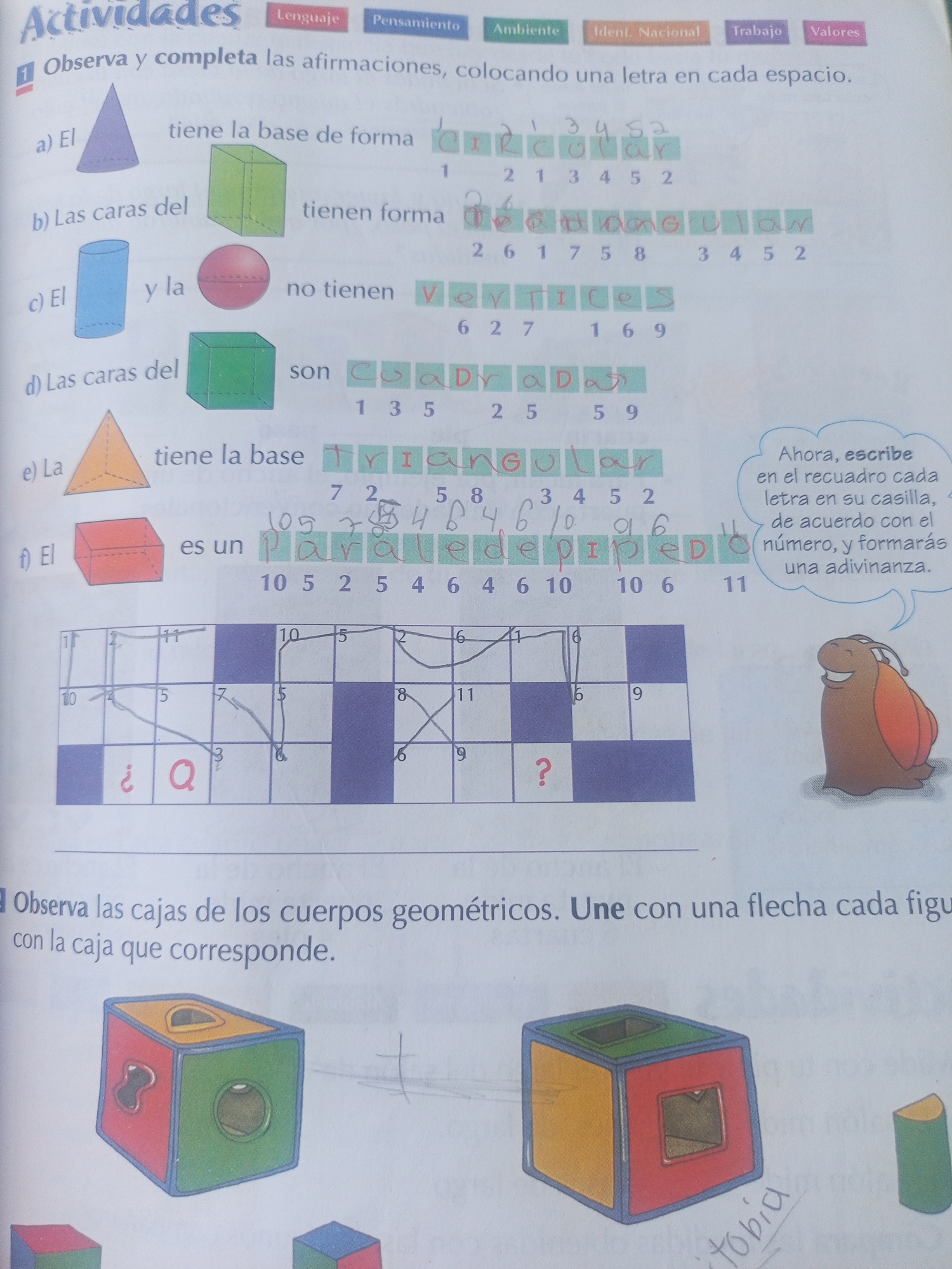
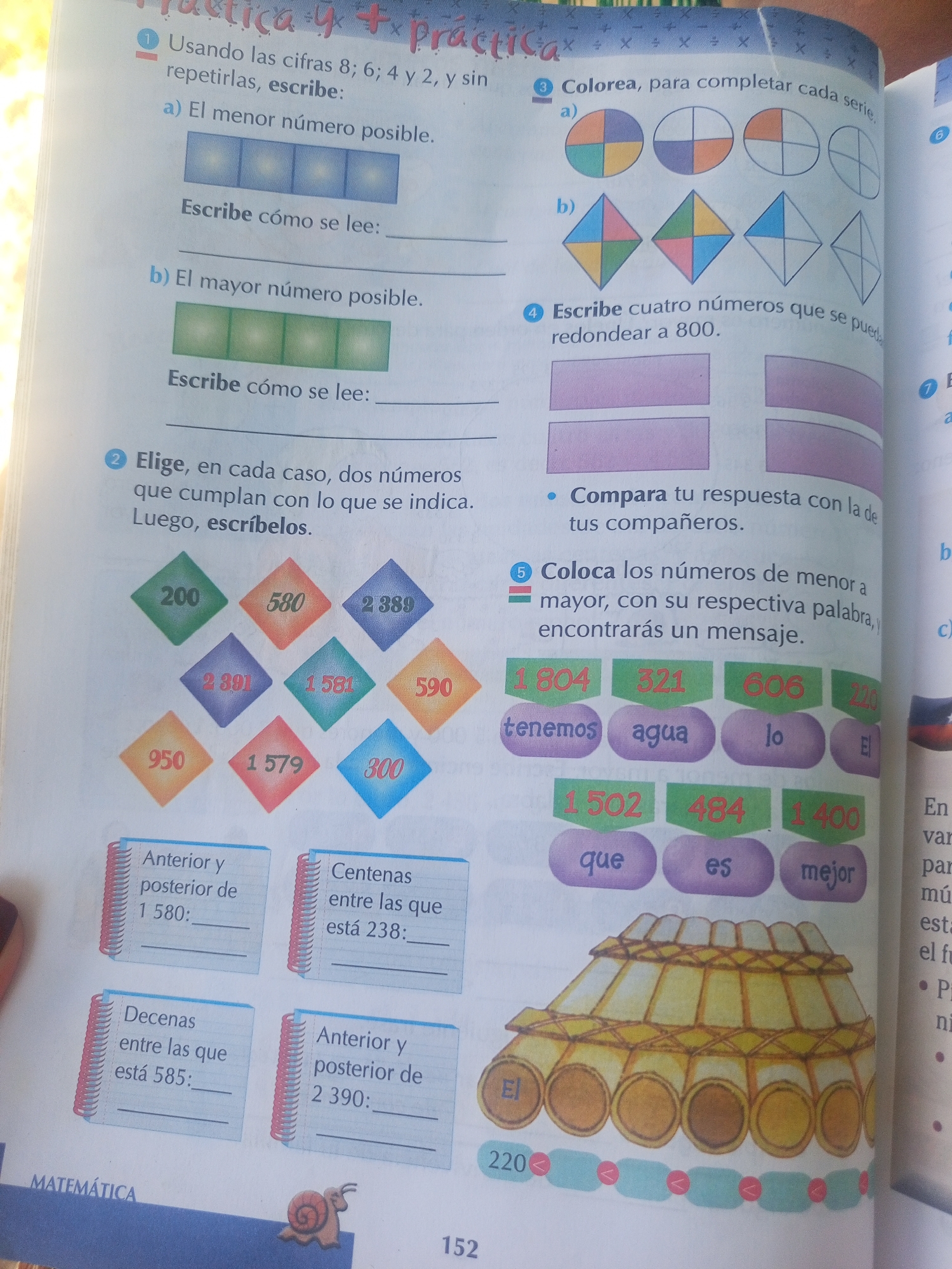
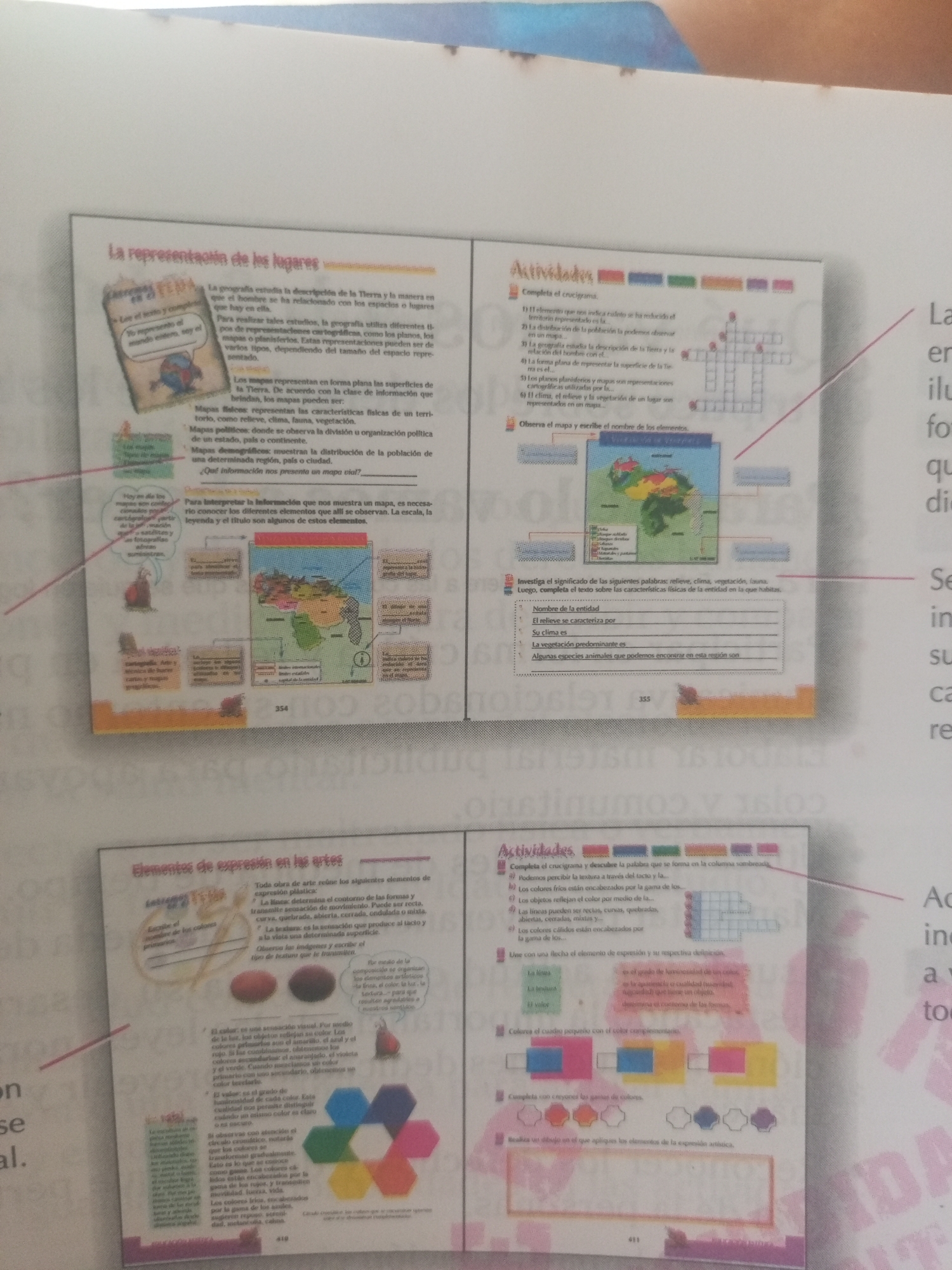
The image is a scan of an open book, likely a textbook, displaying educational content on two pages. The left page is titled "La representación de los lugares" (The representation of places) and discusses geography, maps, and their interpretation. It includes text, illustrations of globes, maps, and diagrams explaining map elements. The right page is titled "Actividades" (Activities) and presents a crossword puzzle related to geography, a map for analysis, and an exercise on vocabulary.

Further down, the left page continues with "Elementos de expresión en las artes" (Elements of expression in the arts), detailing line, texture, and color. This section includes visual examples of these elements, such as colored shapes and textured surfaces. The right page, also titled "Actividades," features exercises on complementary colors, and drawing.

Specific to the location of La Tagua, Venezuela, there is a map of Venezuela prominently displayed on the left page, under the "La representación de los lugares" section. This map is part of an exercise that asks the student to identify and label elements represented on the map. The map itself shows the geographical features and political divisions of Venezuela. There is also a small illustration of the capital city of Venezuela, Caracas.
Mariale

Jun 12, 2026, 3:22 PM

La Tagua, Venezuela

Moment

Stake attention in this memory

educational
informative
curious
engaging
studious

The image is a scan of an open book, likely a textbook, displaying educational content on two pages. The left page is titled "La representación de los lugares" (The representation of places) and discusses geography, maps, and their interpretation. It includes text, illustrations of globes, maps, and diagrams explaining map elements. The right page is titled "Actividades" (Activities) and presents a crossword puzzle related to geography, a map for analysis, and an exercise on vocabulary. Further down, the left page continues with "Elementos de expresión en las artes" (Elements of expression in the arts), detailing line, texture, and color. This section includes visual examples of these elements, such as colored shapes and textured surfaces. The right page, also titled "Actividades," features exercises on complementary colors, and drawing. Specific to the location of La Tagua, Venezuela, there is a map of Venezuela prominently displayed on the left page, under the "La representación de los lugares" section. This map is part of an exercise that asks the student to identify and label elements represented on the map. The map itself shows the geographical features and political divisions of Venezuela. There is also a small illustration of the capital city of Venezuela, Caracas.

Symbol

00B8B

Volume

0

Creator

+$0.03

Revenue

+$0.00

TVL

$0.00

1D
1W
1M
All

Loading AttnAds…

transactions
revenues
stakers
Earliest
Latest
Highest stake

1

cruzaleja

Staked 1mo ago
Redeemed 26d ago

$2.71 USD

+$0.01 USD

Fee: $0.01 (0.25%)

+0.5%

2

Rev Bot 🤖💰

Injected revenue 1mo ago

Revenue bonus for the last stake.

+$0.05 USD

More from this user

More from La Tagua

Mariale

Jun 12, 2026, 3:22 PM

La Tagua, Venezuela

Licensed under Creative Commons Attribution 4.0 International License. You are free to share and adapt this content with proper attribution.