
Stake attention in this memory
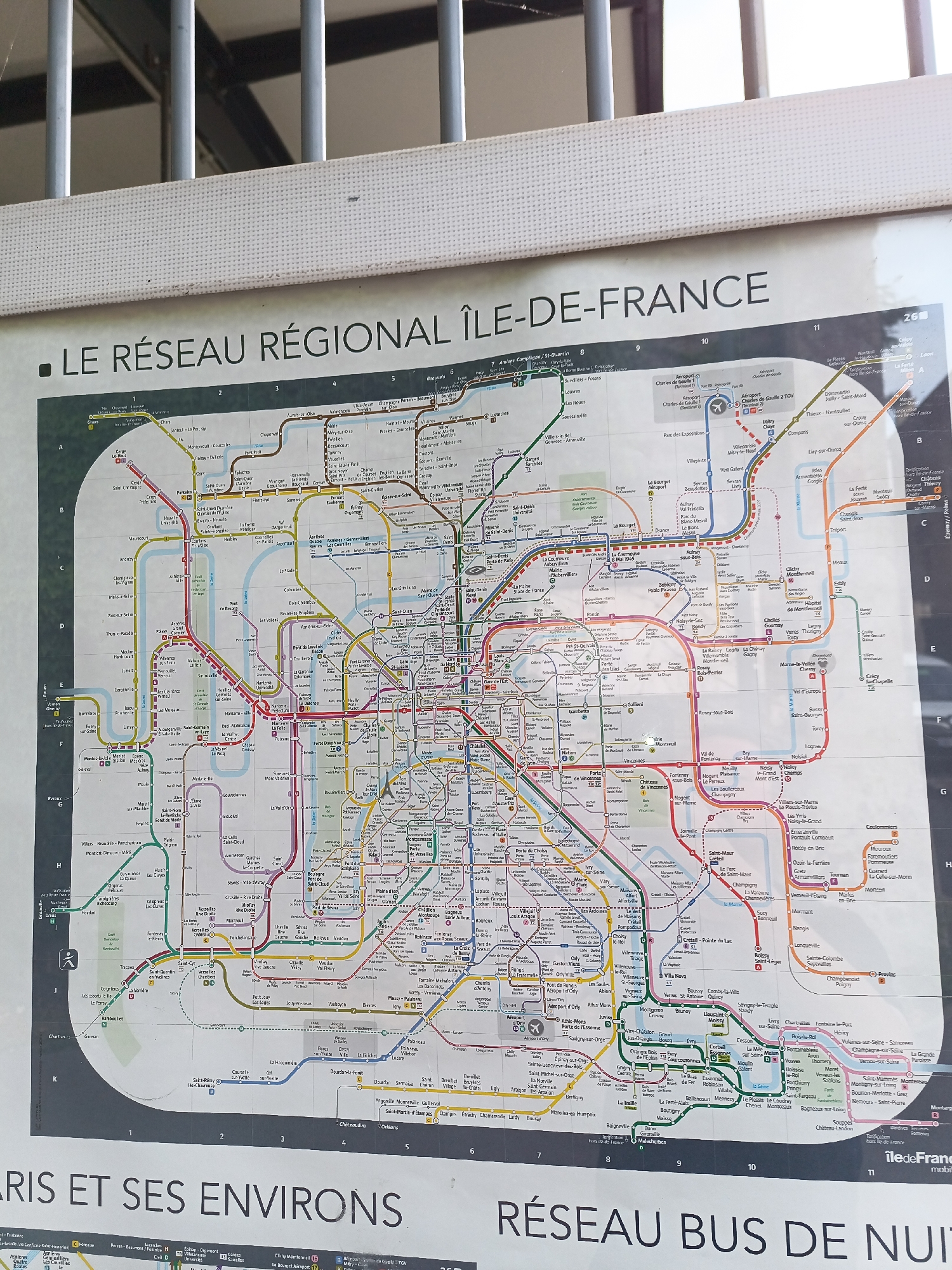
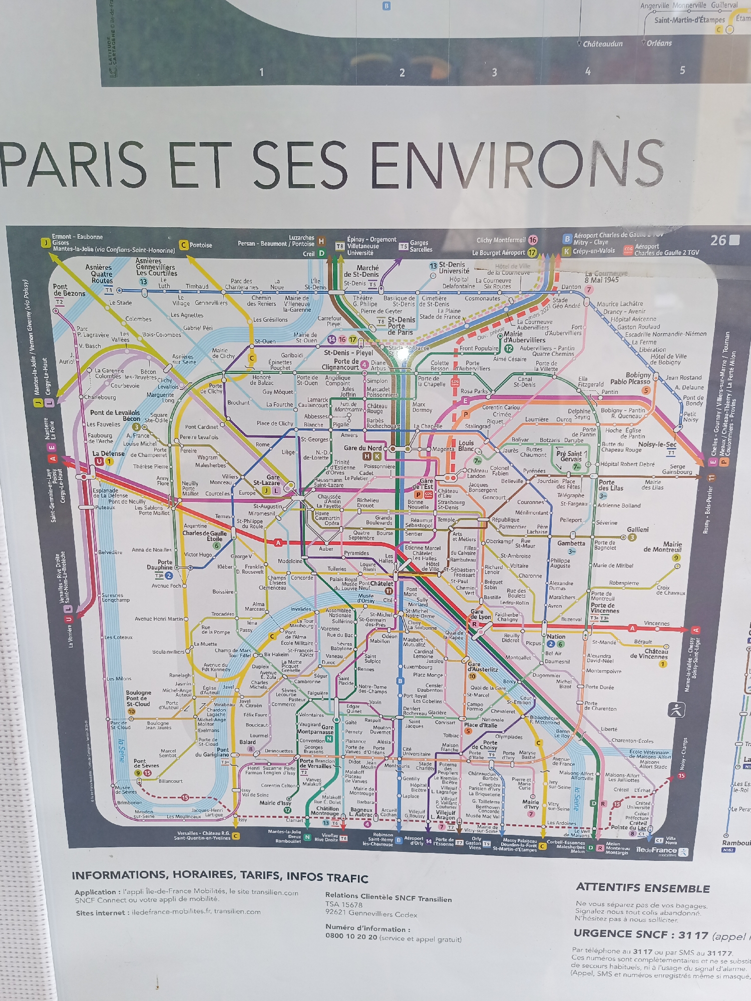
The image is a photograph of a large map of Paris and its surrounding areas, with a focus on public transportation routes. The map is colorful and detailed, showing various metro and train lines indicated by different colored and numbered routes. There are numerous station names labeled across the map. The bottom section of the image contains informational text about the application and website for Ile-de-France Mobilités and SNCF Connect, as well as an urgent SNCF notification. The city of Montgeron, France, is located on the southeastern edge of the map, indicated by the label "Montgeron" near the bottom right quadrant. It is situated within the zone covered by public transportation lines, as evidenced by its presence on the map. There are no people, specific subjects, or actions depicted in the photograph; it is a static image of a map and accompanying text. The environment is that of a printed document, likely a poster or a page from a guide.
Loading AttnAds…
No transactions found