
Stake attention in this memory
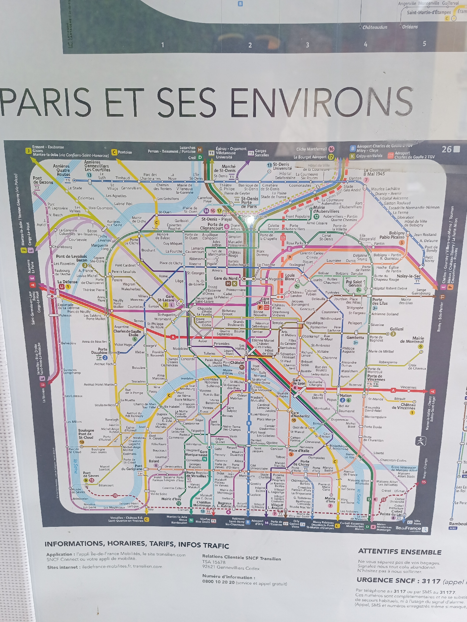
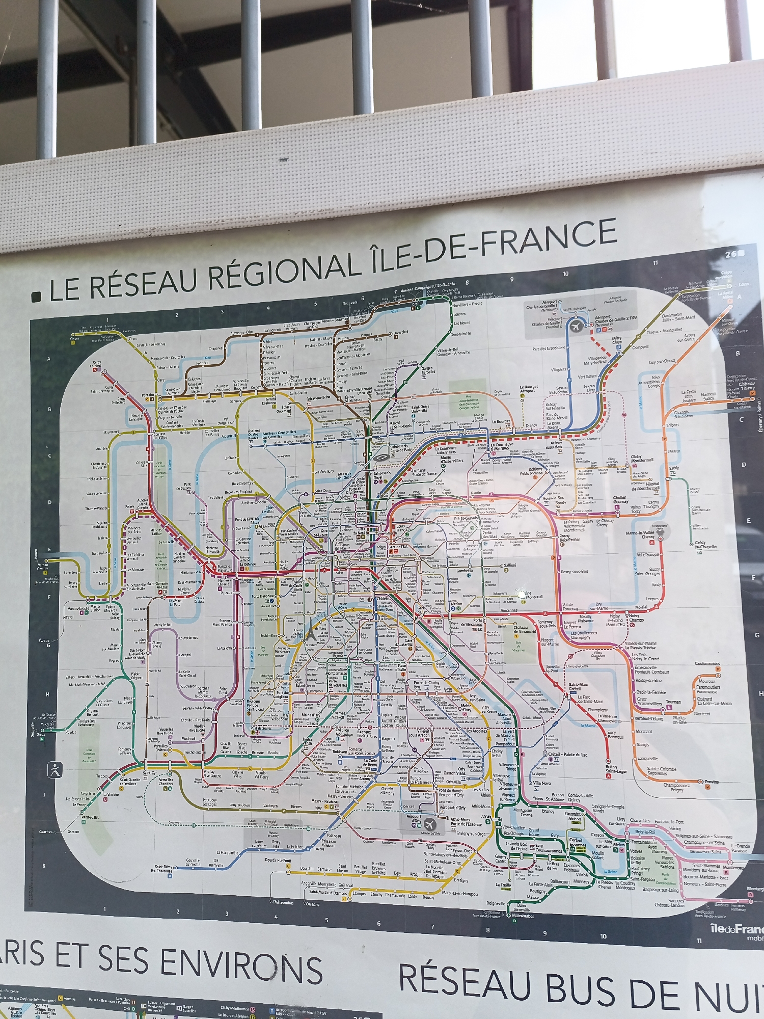
This is a close-up, eye-level, high-angle shot of a public transportation map of the Paris region, Île-de-France, including Paris and its surrounding areas. The map is displayed outdoors, possibly at a train station or bus stop, indicated by the white corrugated metal structure and metal bars visible at the top of the frame, which appear to be part of a roof or awning. The map itself is large and detailed, showing various train and bus lines in different colors, with station names and numbers clearly printed. The text "LE RÉSEAU RÉGIONAL ÎLE-DE-FRANCE" is prominently displayed at the top of the map. The bottom of the map displays "PARIS ET SES ENVIRONS" and "RÉSEAU BUS DE NUIT". The city of Montgeron, France, is located on this map. It can be found in the lower right quadrant of the map, south of Paris. Montgeron is served by the RER D line, which is depicted in yellow on the map, with a station also named "Montgeron". It is situated between the stations "Bourgogne" and "Vigneux" on this line.
Loading AttnAds…
No transactions found