Stake attention in this memory
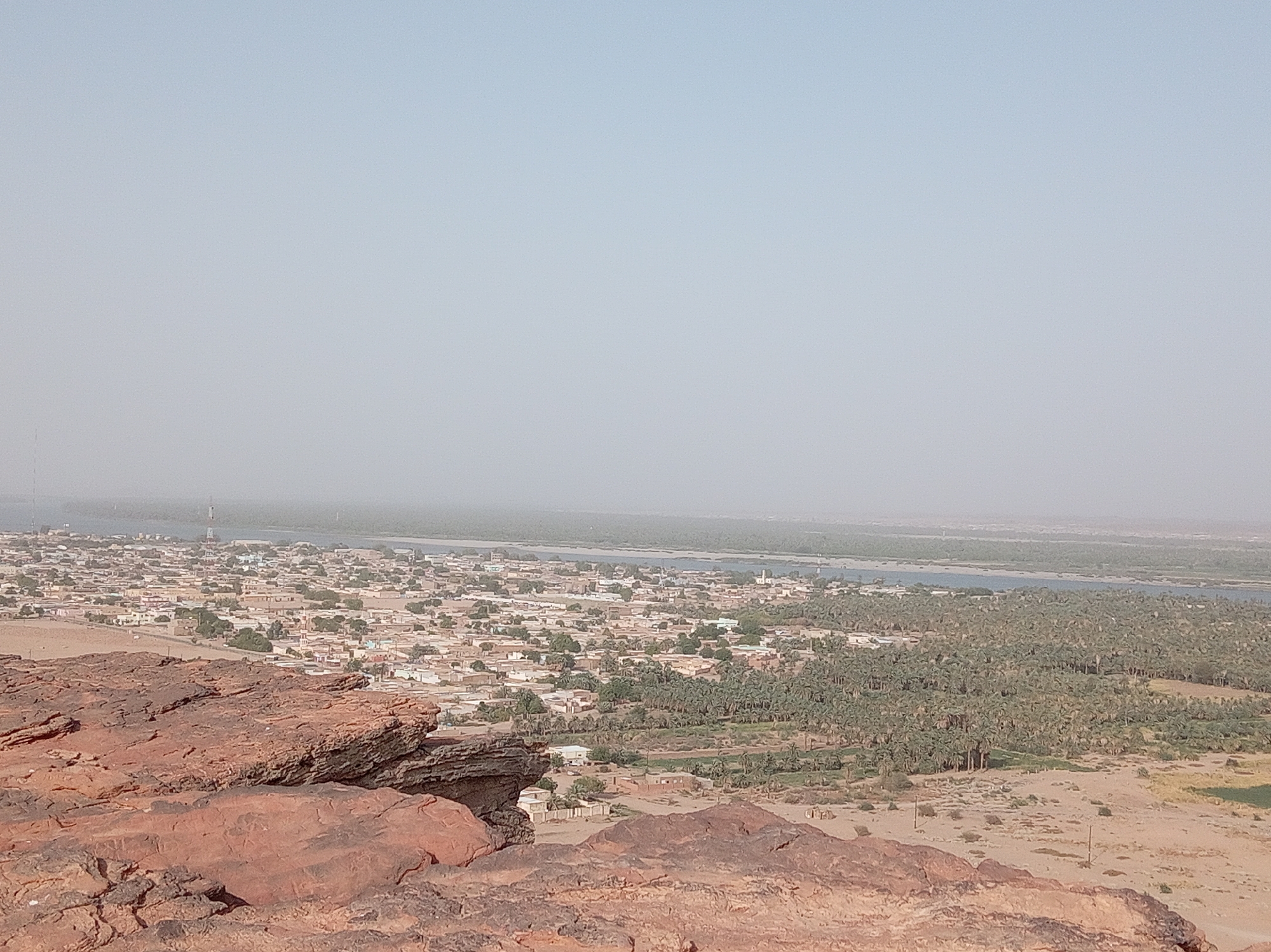
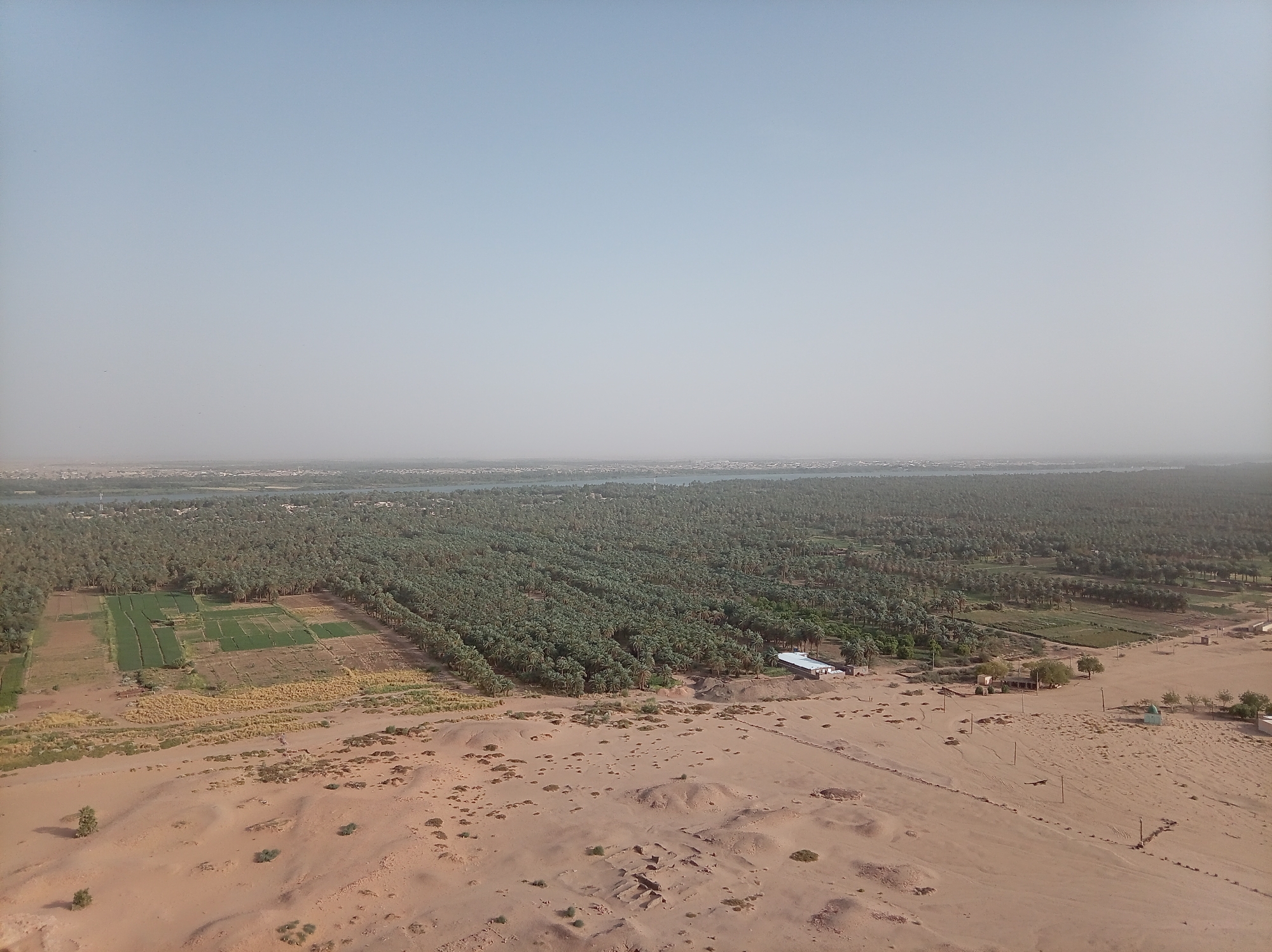
This aerial photograph presents a vast and contrasting landscape near Dongola, Sudan, showcasing the stark transition from arid desert to a fertile riverine oasis. The scene is dominated by a clear, pale blue sky with a hazy horizon, suggesting a bright, warm day. In the foreground, a sandy desert stretches across the lower half of the image. It features undulating terrain with sparse, low-lying scrub vegetation and scattered rocks. Visible within this desert landscape are utility poles and power lines, indicating infrastructure. On the right, a cluster of simple buildings includes one with a distinctive light blue dome, while further to the left, what appears to be ancient mudbrick foundations or ruins are embedded in the sand, hinting at historical habitation. The midground marks a dramatic shift to lush greenery. Extensive, rectangular agricultural fields are cultivated with varying shades of green crops and some patches of dried, lighter-colored vegetation, signifying active farming. These fields are bordered by a dense and expansive palm grove, likely composed of date palms, which forms a thick, verdant band stretching across the image. Several modest buildings are nestled within or alongside these green areas. In the background, a wide body of water, consistent with a major river, flows through the landscape, acting as the lifeblood of the oasis. On the far bank of the river, a distant town or settlement is discernible, blending with the hazy horizon. The image vividly portrays the essential role of the river in sustaining agriculture and human settlement within an otherwise arid desert region. There is no visible text in the photograph.
Symbol
168DE
Volume
10,073
Creator
+$0.11
Revenue
+$0.00
TVL
$10.53
More from this user

More from Dongola