Stake attention in this memory
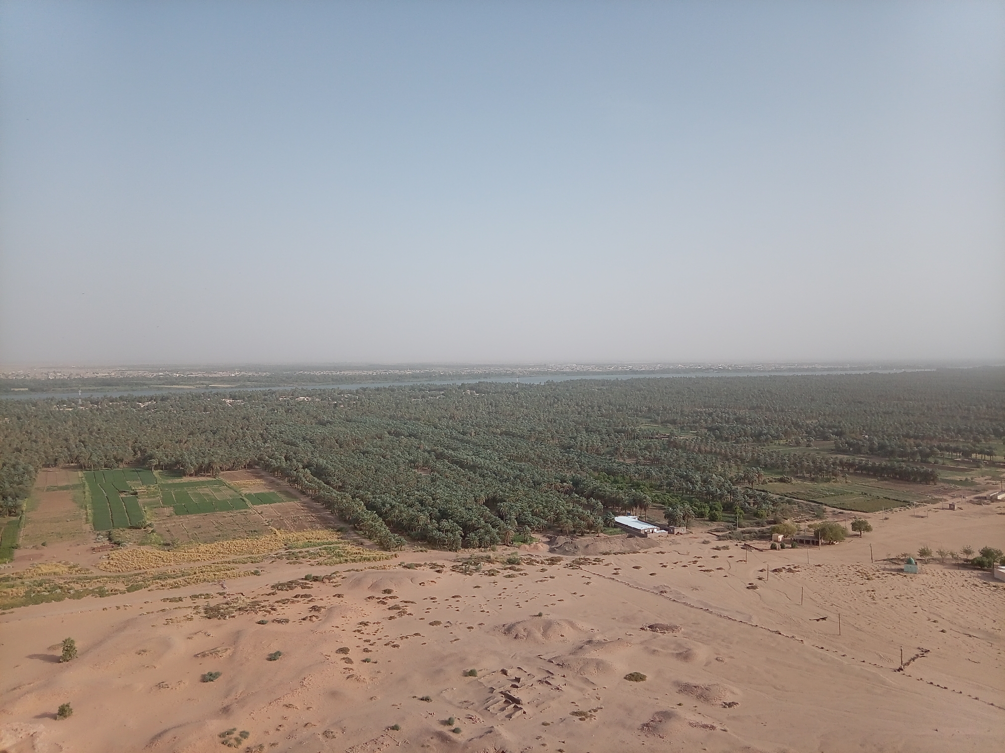
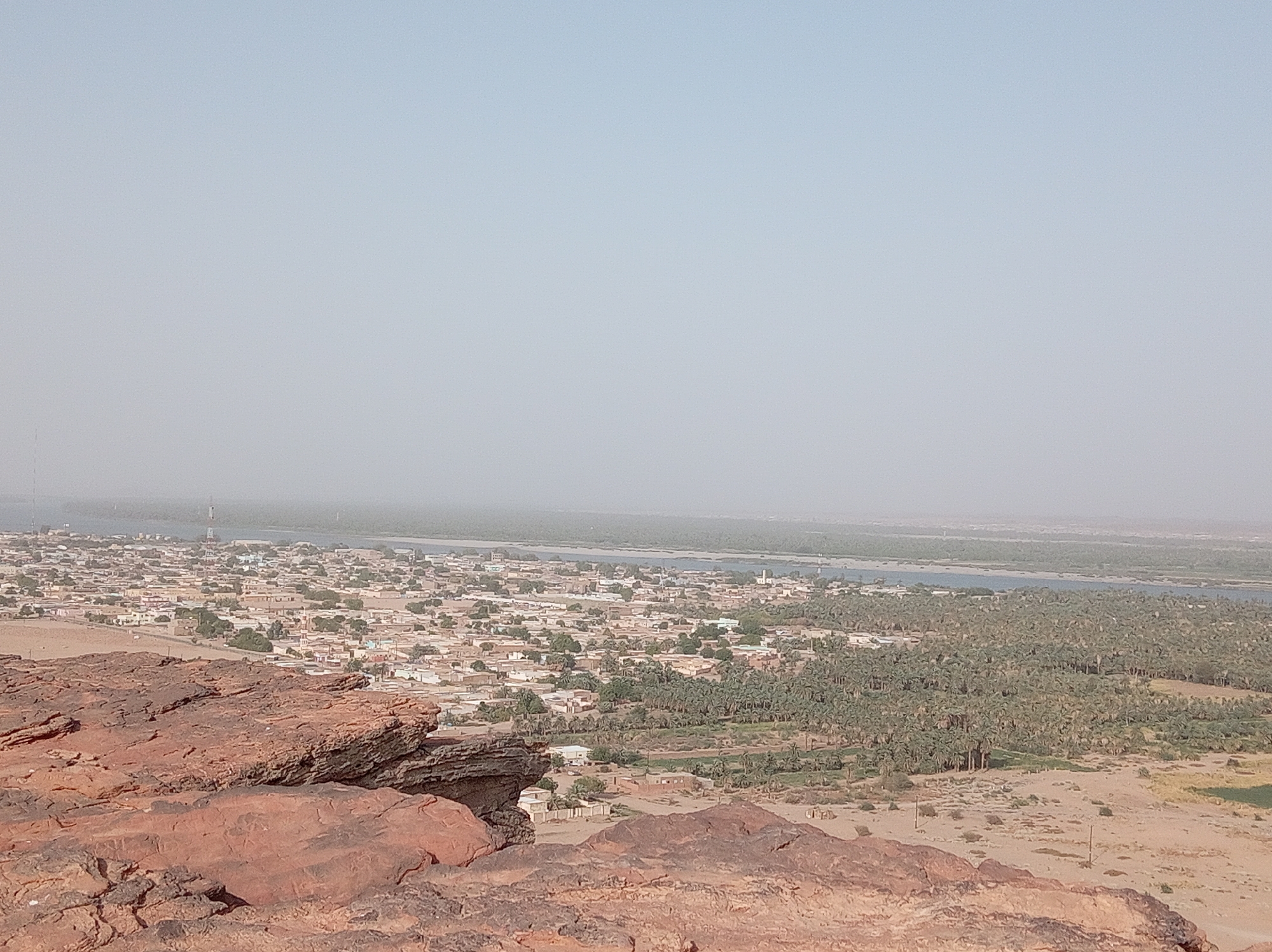
This panoramic image captures a sprawling landscape view of Dongola, Sudan, taken from a high vantage point, likely a rocky hill. In the immediate foreground, reddish-brown rock formations dominate the lower left and bottom edges of the frame. These rocks exhibit rough, weathered textures and layered geological features, typical of arid, ancient terrain. Moving towards the midground, a densely populated town or city unfolds, consisting of numerous light-colored buildings, predominantly low-rise structures, interspersed with scattered green trees. Roads and urban infrastructure are visible throughout the settlement. A few tall, slender communication towers can be seen rising above the buildings in the town area. Beyond the town lies a wide, placid body of water, identifiable as the Nile River, which appears as a greenish-grey ribbon extending horizontally across the image. Its surface is calm, reflecting the hazy sky. On the far bank of the Nile, an extensive and verdant expanse of date palm groves stretches across the landscape, indicating rich agricultural activity supported by the river. These groves form a dense, dark green band contrasting with the lighter tones of the town and distant arid land. Beyond the palm groves, the land transitions back to a lighter, arid terrain before fading into the distant, indistinct horizon. The sky is a uniform, light blue-grey, appearing hazy, which suggests either atmospheric dust common to the region or a bright, diffused sunlight. The time of day appears to be daytime, possibly late morning or early afternoon, with no strong shadows. No specific human activity, individuals, or visible text can be discerned in the image. The scene portrays the symbiotic relationship between human settlement, agriculture, and the life-giving Nile River in an otherwise arid environment.
No transactions found
More from this user

More from Dongola