Stake attention in this memory
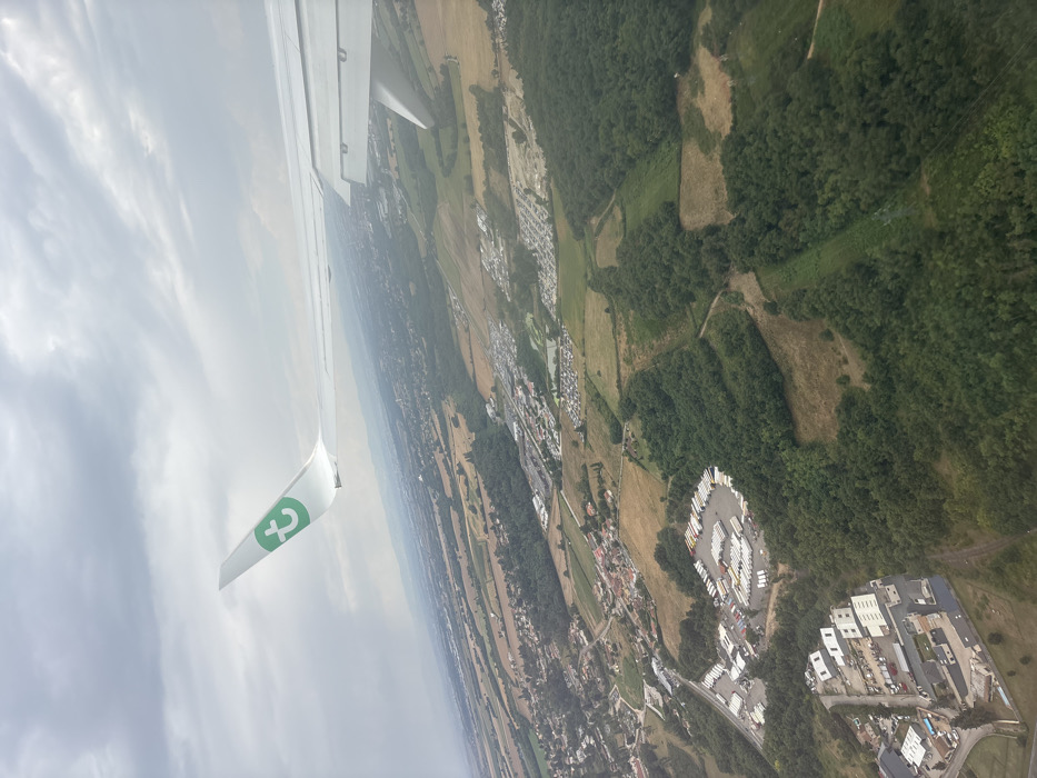
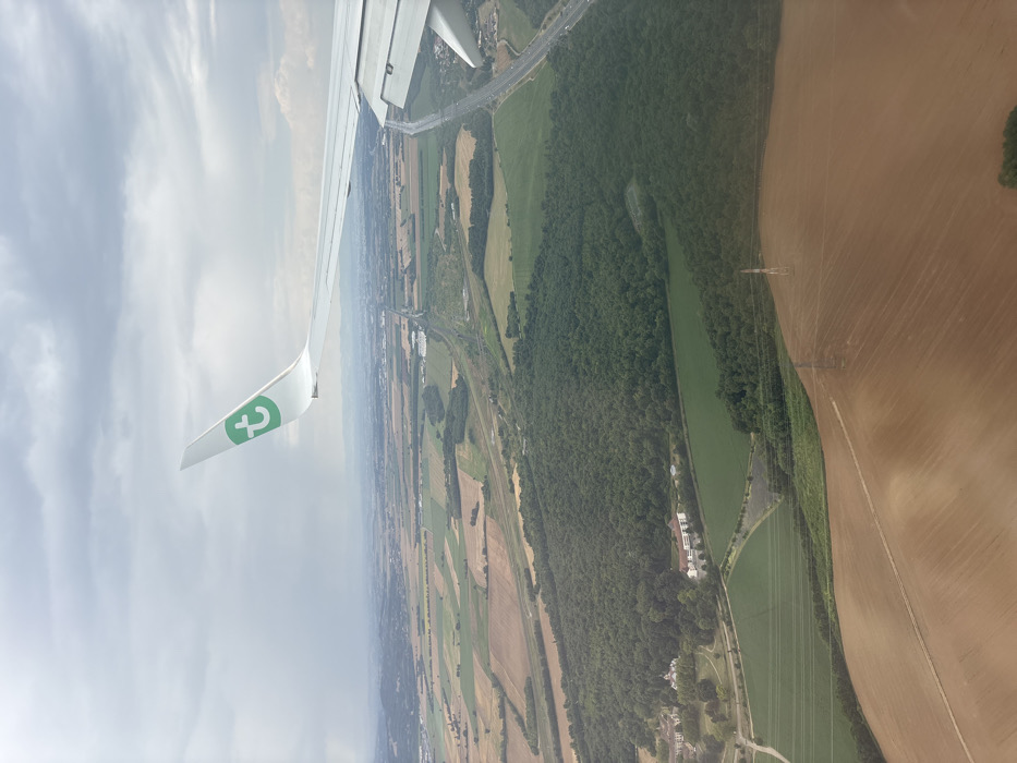
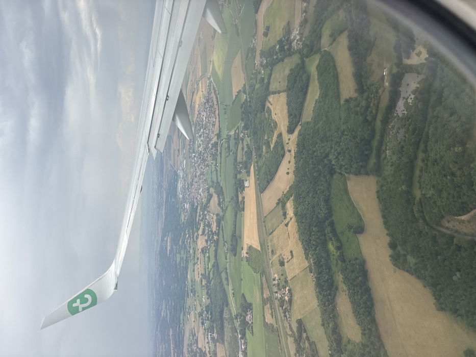
An aerial view from an aircraft depicts the rural landscape surrounding Bonnefamille, France, under an overcast sky. The white wing of a Transavia aircraft, featuring a green 't' logo on its wingtip, extends from the upper left towards the mid-right. Below, the terrain is a mosaic of cultivated fields, presenting in shades of green and yellow-brown, interspersed with dense, dark green forest patches. The commune of Bonnefamille is centrally visible in the mid-distance, identifiable by its cluster of residential and commercial structures with predominantly light-colored roofs. A prominent linear light-colored feature, consistent with a highway (likely the A43 autoroute), traverses the landscape in the mid-ground. Several small, irregular-shaped ponds are visible within forested areas in the foreground. The sky above is uniformly covered by a thick layer of grey clouds. No individuals or specific actions are discernible within the frame.
No transactions found