Stake attention in this memory
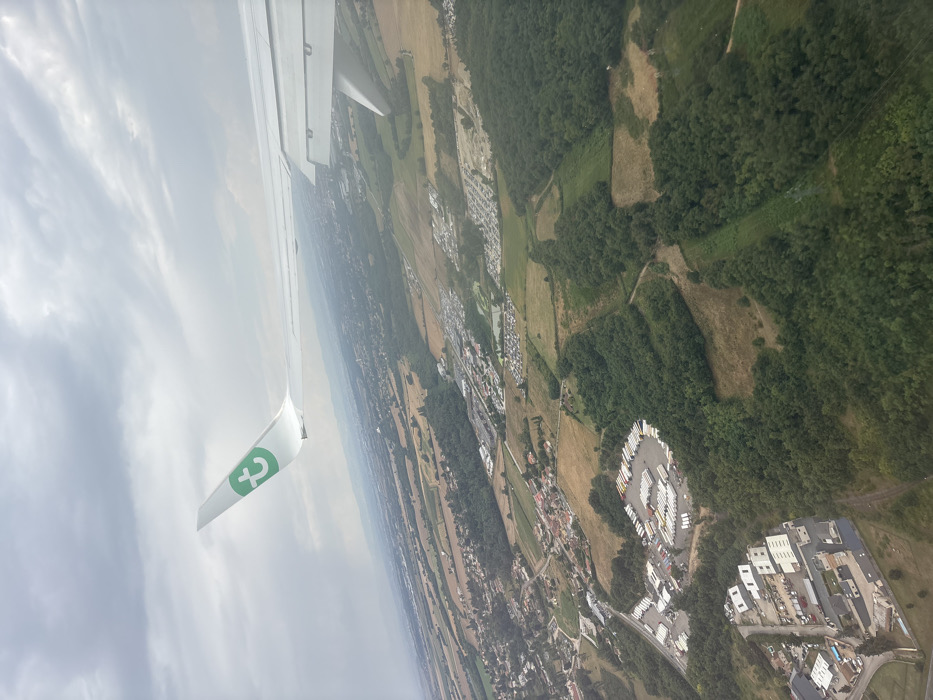
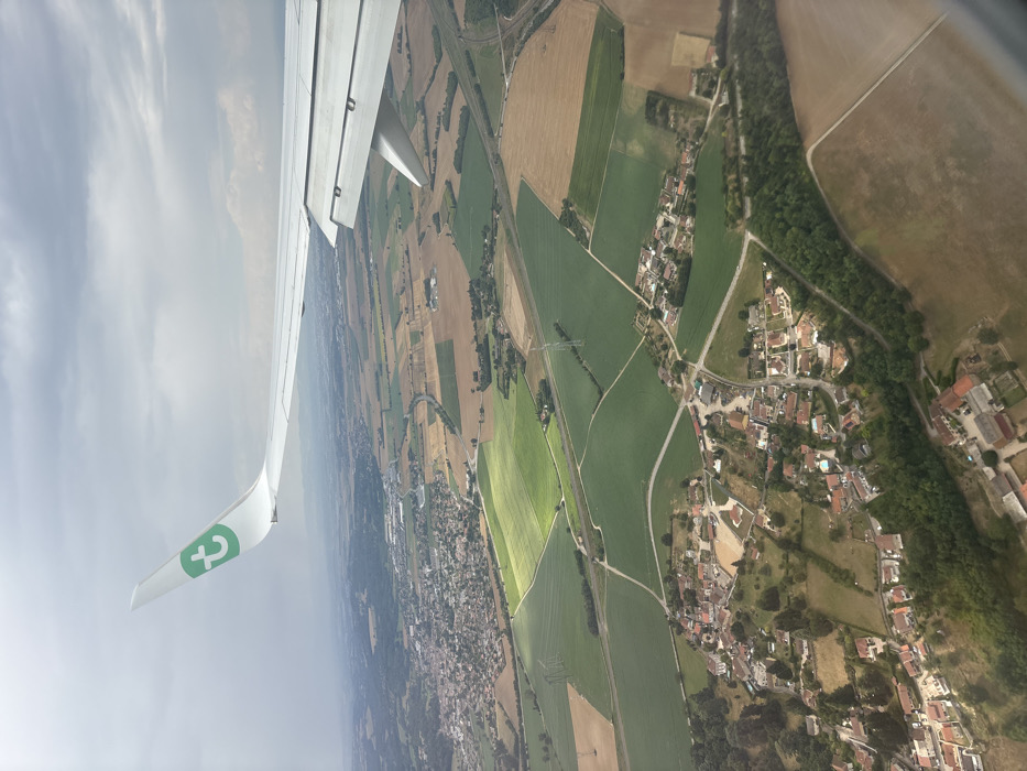
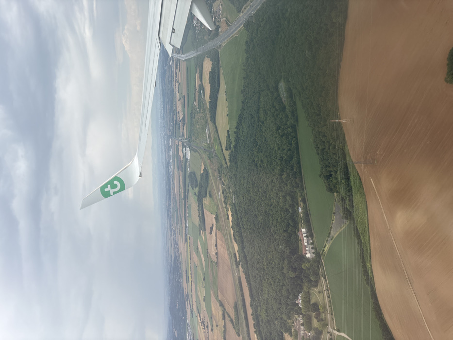
An aerial photograph depicts a rural landscape near Bonnefamille, France, viewed from the window of a Transavia aircraft. The white aircraft wing, featuring a green 't' logo on its wingtip, occupies the upper left and right portions of the frame, with visible flap components on the right wing section. The ground below is composed of a mosaic of agricultural fields in shades of light brown (likely fallow or recently harvested) and vibrant green (cultivated land), interspersed with a large, dense, dark green forest centrally located. Two distinct building complexes are visible at the western edge of this forest: one with light-colored roofs and another with reddish-orange roofs. Major transportation infrastructure traverses the scene, including a multi-lane highway running diagonally from the upper right towards the center, paralleled by railway tracks. A small body of water is situated near the highway in the mid-ground. Several utility poles and power lines are discernible spanning the foreground fields. The sky is uniformly overcast with grey clouds. No specific individuals or their actions are discernible from this altitude.
No transactions found