Stake attention in this memory
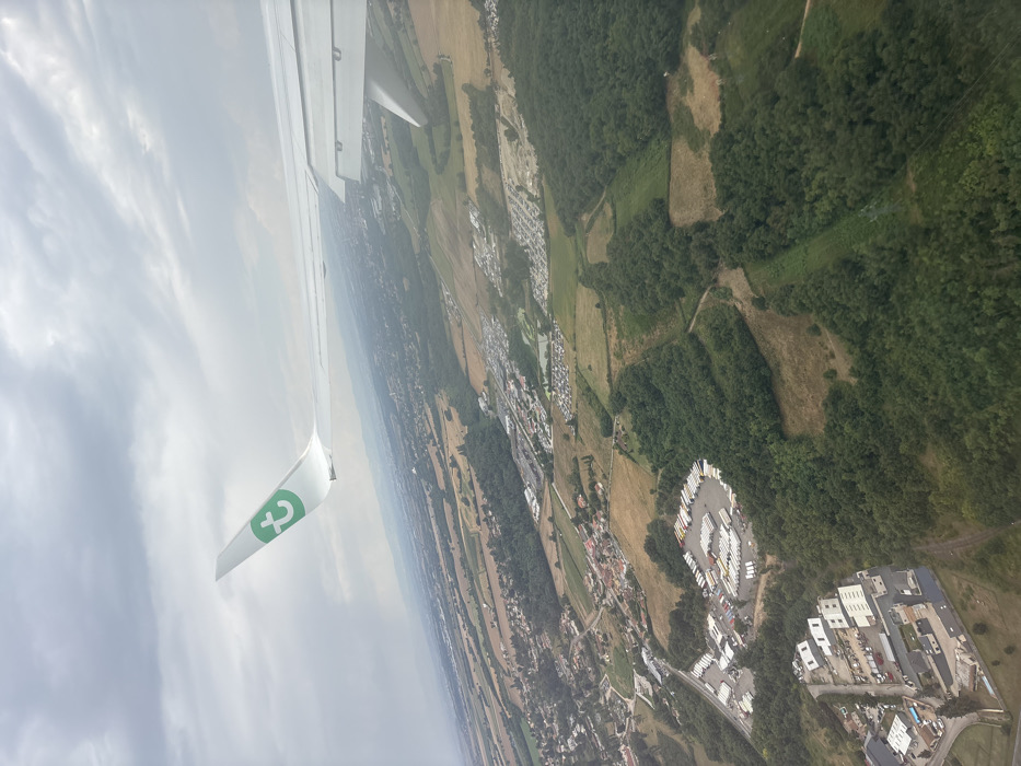
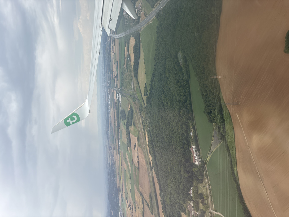
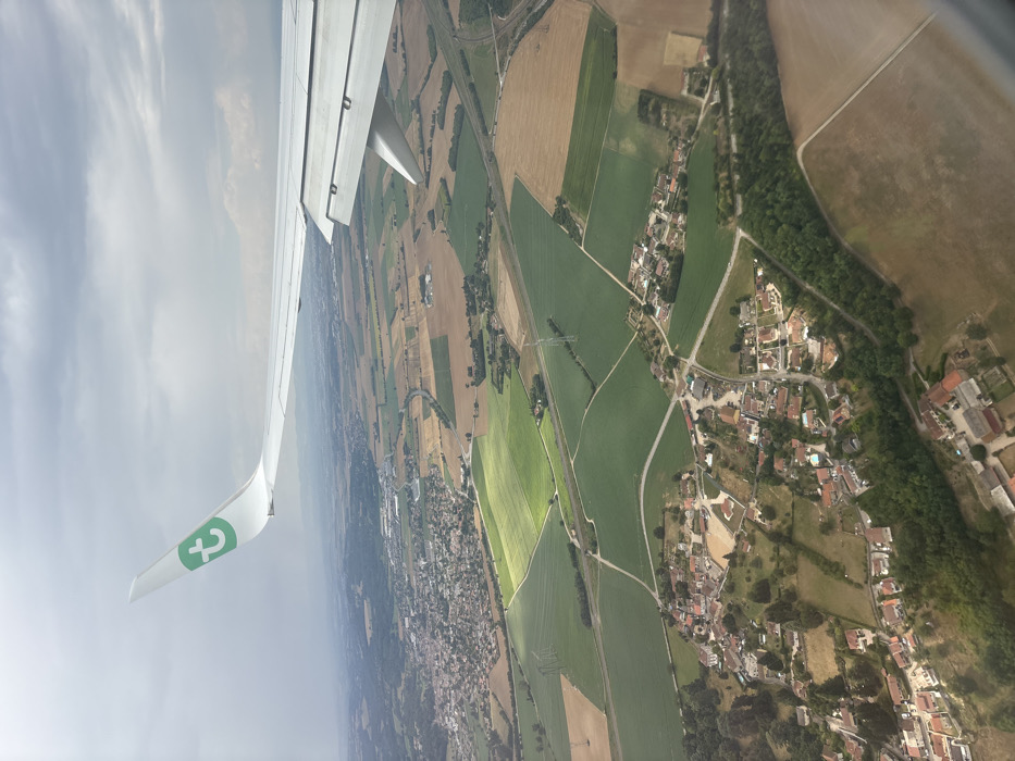
An aerial photograph, captured from the window of an aircraft, depicts a rural and semi-urban landscape identified as the vicinity of Bonnefamille, France. The upper portion of the frame features the white wing and winglet of the aircraft, which displays a green "T" logo, characteristic of Transavia Airlines. The terrain below is a mosaic of agricultural fields in varying shades of green and light brown, indicative of different crops or stages of cultivation. Several clusters of residential structures with predominantly red-tiled roofs form small villages, notably in the lower-central and mid-left sections of the image. The landscape is crisscrossed by a network of roads, some appearing paved and others unpaved, and traversed by power lines supported by tall pylons. A prominent, darker green area of woodland is visible in the lower right, bordering fields and residential zones. The sky overhead is overcast with grey clouds, with isolated patches of sunlight illuminating specific fields, creating a dynamic lighting effect. No individuals or specific actions are discernible within the visible landscape.
No transactions found