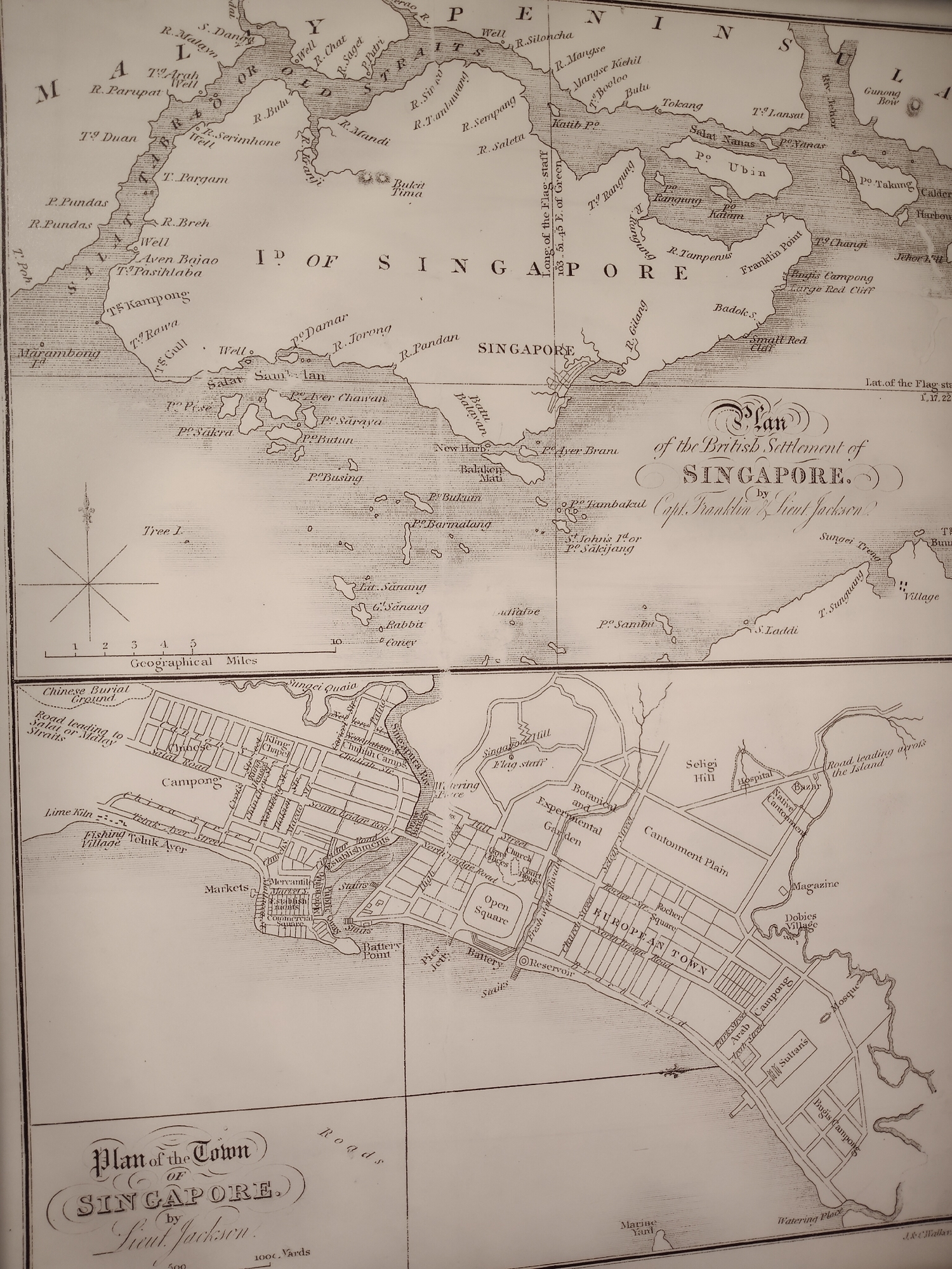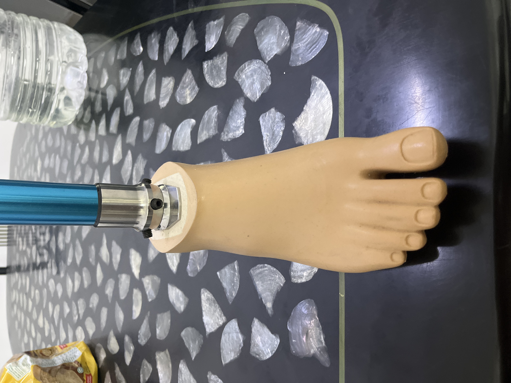
Stake attention in this memory
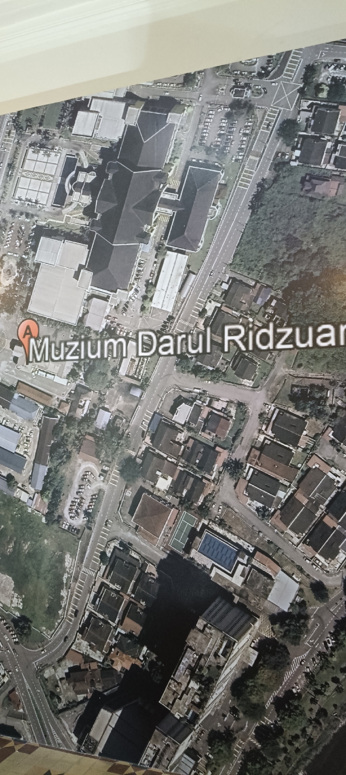
aerial view
Muzium Darul Ridzuan
urban area
building
map
Aerial view of a city area, likely from Google Maps, showcasing building rooftops, roads, and parking lots. A large complex, potentially a museum or government building, dominates the upper part of the image. A marker labeled "Muzium Darul Ridzuan" indicates a specific location. The surrounding area features residential blocks with visible swimming pools and tennis courts, mixed with trees and greenery. The scene is mostly residential and institutional with a mix of parking areas.
transactions
revenues
stakers
Earliest
Latest
Highest stake
No transactions found