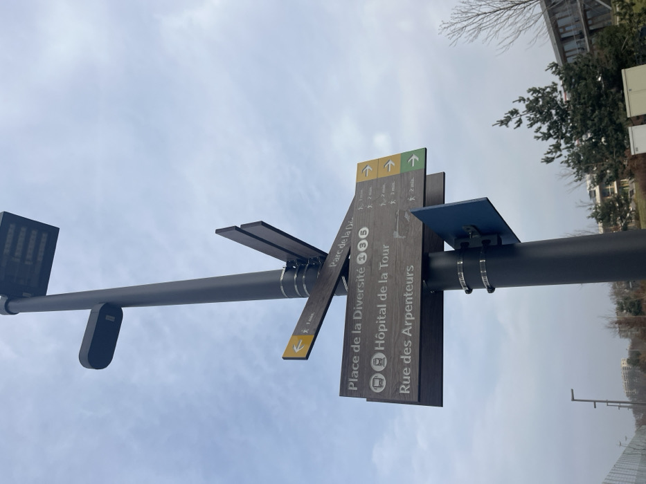
Stake attention in this memory
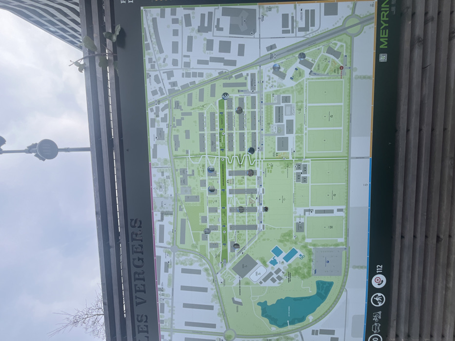
This media file captures an outdoor information board displaying a detailed map. The board is dark-framed and stands against an overcast, bright sky, with a lamppost or similar street light fixture visible in the upper left. Small branches with green leaves extend from the left side, partially obscuring the board's edge. A wooden slatted fence or wall forms the background on the right. The map itself depicts an urban or suburban landscape, focusing on an area called "Les Vergers" in Meyrin, Switzerland, as indicated by the prominent text. The layout includes numerous buildings, interconnected roads, and significant green spaces. A central feature is a long, vertical green path labeled "CHEMIN DES PROMENADES DE MEYRIN." Several circular icons, some resembling hot air balloons, are scattered across the map, likely marking points of interest or facilities. To the right of this central path, multiple sports fields are visible. The lower portion of the map showcases a large, irregularly shaped blue-green pond or lake, surrounded by green parkland and recreational amenities like swimming pools. Visible text includes "LES VERGERS" oriented vertically on the left edge of the board, and "MEYRIN" with an accompanying logo on the right edge. At the bottom right, emergency contact information is displayed, featuring the number "112" alongside pictograms for activities such as cycling and skateboarding, and services like a phone. The time of day is daytime, with diffused light suggesting cloudy or overcast weather. No people are visible in the scene.
No transactions found