Stake attention in this memory
desolate
arid
barren
rocky
dry
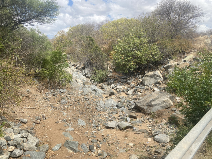
The image shows a dry riverbed in Mbweleli, Tanzania, located at latitude -7.125 and longitude 35.949. The riverbed is filled with rocks of various sizes and a small amount of dirt. There are trees and shrubs on both sides of the riverbed. The ground is dry and dusty. The image appears to be taken from the side of a road with a guard rail in the foreground. The area is likely a rural or semi-rural area.
transactions
revenues
stakers
Earliest
Latest
Highest stake
No transactions found
More from this user

More from Mbweleli