Stake attention in this memory
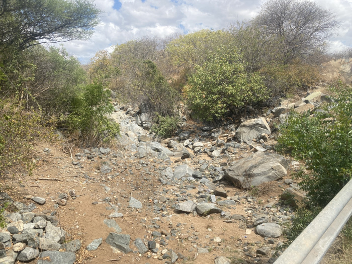
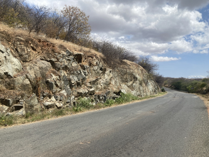
The image shows a paved road curving to the right, with a rocky hillside on the left. The road appears to be empty, with no visible vehicles or people. The sky is partially cloudy, with patches of blue visible. The hillside is composed of large, gray rocks with some vegetation growing between them. The road is asphalt and appears to be in good condition. The road curves to the right, disappearing into the distance. The hillside slopes upward, and the vegetation at the top is sparse. The location of the image is a rural area in Mbweleli, Tanzania, at coordinates -7.124 latitude and 35.948 longitude. The scene is a typical rural landscape, with a road winding through a rocky hillside. The image suggests a remote location, with no signs of human activity other than the road. The image has been taken on a bright, sunny day, with no shadows visible on the road or the hillside. The overall impression is one of tranquility and remoteness.
No transactions found
More from this user

More from Mbweleli