Sign in
The image shows an old, unfolded map with longitudinal and latitudinal lines. The map details a peninsula region with various administrative divisions marked in pink and yellow. The top right corner shows coordinates 101 and 102. The landscape includes coastal regions, rivers, and a dense network of roads or pathways. The lower section of the map is slightly blurred and shows another region. Text annotations are scattered across the map, primarily in what seems to be an Asian language. The map has creases and folds, showing its age.
FM-uHS2K2

Feb 5, 2026

Ipoh, Malaysia

Stake attention in this memory
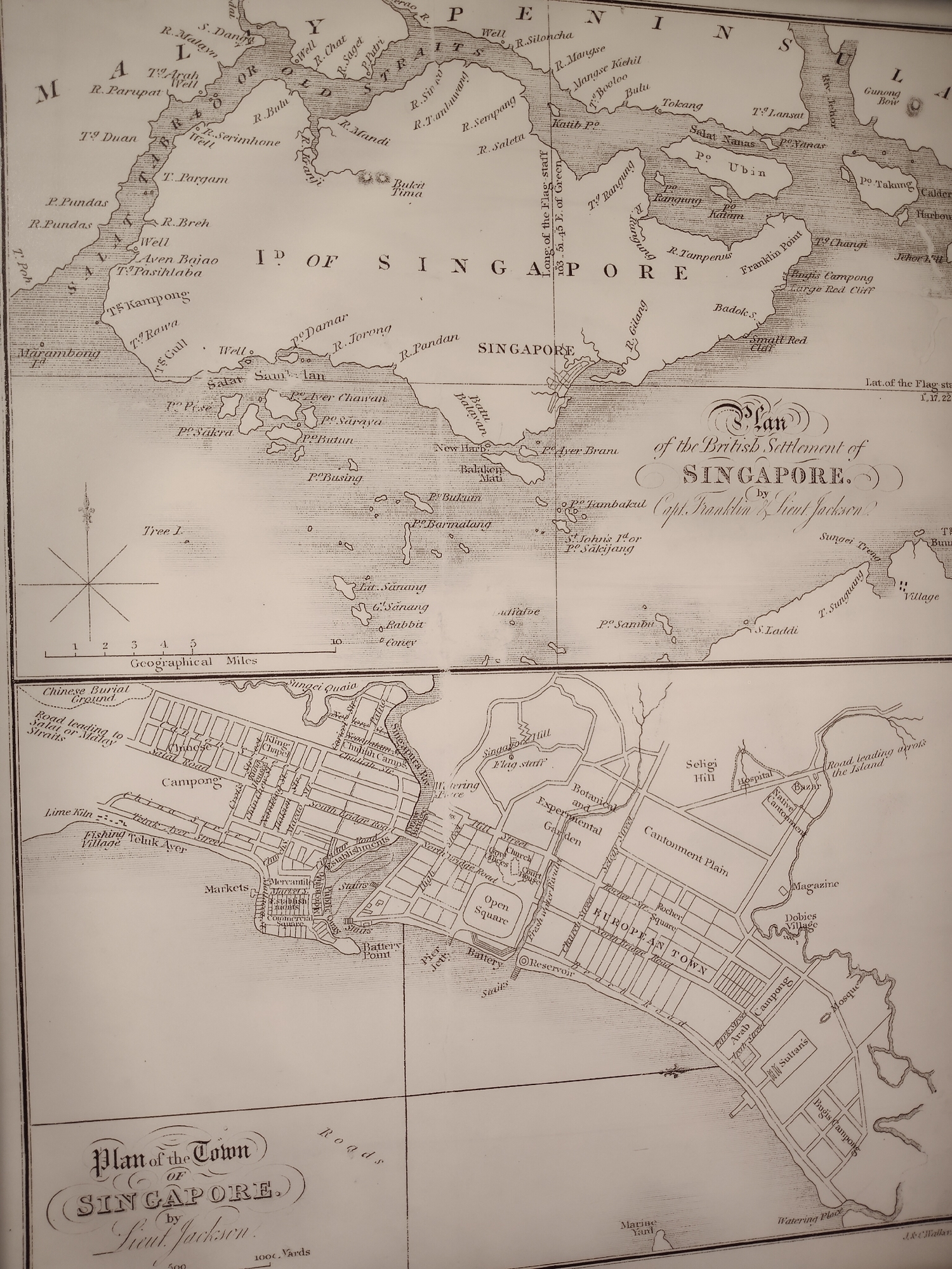
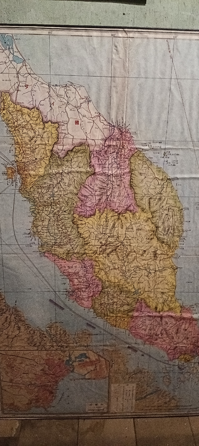
map
vintage
political
geographic
asia

The image shows an old, unfolded map with longitudinal and latitudinal lines. The map details a peninsula region with various administrative divisions marked in pink and yellow. The top right corner shows coordinates 101 and 102. The landscape includes coastal regions, rivers, and a dense network of roads or pathways. The lower section of the map is slightly blurred and shows another region. Text annotations are scattered across the map, primarily in what seems to be an Asian language. The map has creases and folds, showing its age.

transactions
revenues
stakers
Earliest
Latest
Highest stake

No transactions found

More from this user

More from Ipoh

FM-uHS2K2

Feb 5, 2026

Ipoh, Malaysia

Licensed under Creative Commons Attribution 4.0 International License. You are free to share and adapt this content with proper attribution.