Bonnefamille, France
4 memories from Bonnefamille, France
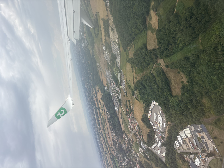
Aerial view of the landscape over Bonnefamille, France. An aircraft wing, white with a green "t" logo (Transavia Airlines), is visible in the upper-left quadrant, extending horizontally across the frame; its wingtip and underside control surfaces are discernible. The sky is overcast with light grey clouds. The ground below displays a mixed rural and developed landscape. Extensive dark green forested areas are interspersed with lighter green and tan agricultural fields. A village cluster is located mid-left. A large industrial facility in the lower-left features multiple buildings, paved lots, and numerous parked trucks. Two large, distinct areas filled with parked vehicles are located mid-right. No individuals are visible. The scene is under diffused daylight.
Bonnefamille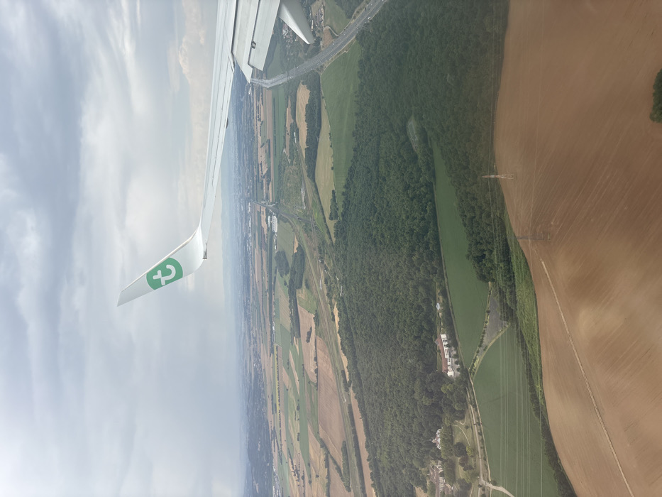
An aerial photograph depicts a rural landscape near Bonnefamille, France, viewed from the window of a Transavia aircraft. The white aircraft wing, featuring a green 't' logo on its wingtip, occupies the upper left and right portions of the frame, with visible flap components on the right wing section. The ground below is composed of a mosaic of agricultural fields in shades of light brown (likely fallow or recently harvested) and vibrant green (cultivated land), interspersed with a large, dense, dark green forest centrally located. Two distinct building complexes are visible at the western edge of this forest: one with light-colored roofs and another with reddish-orange roofs. Major transportation infrastructure traverses the scene, including a multi-lane highway running diagonally from the upper right towards the center, paralleled by railway tracks. A small body of water is situated near the highway in the mid-ground. Several utility poles and power lines are discernible spanning the foreground fields. The sky is uniformly overcast with grey clouds. No specific individuals or their actions are discernible from this altitude.
Bonnefamille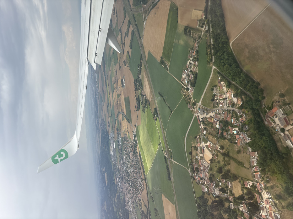
An aerial photograph, captured from the window of an aircraft, depicts a rural and semi-urban landscape identified as the vicinity of Bonnefamille, France. The upper portion of the frame features the white wing and winglet of the aircraft, which displays a green "T" logo, characteristic of Transavia Airlines. The terrain below is a mosaic of agricultural fields in varying shades of green and light brown, indicative of different crops or stages of cultivation. Several clusters of residential structures with predominantly red-tiled roofs form small villages, notably in the lower-central and mid-left sections of the image. The landscape is crisscrossed by a network of roads, some appearing paved and others unpaved, and traversed by power lines supported by tall pylons. A prominent, darker green area of woodland is visible in the lower right, bordering fields and residential zones. The sky overhead is overcast with grey clouds, with isolated patches of sunlight illuminating specific fields, creating a dynamic lighting effect. No individuals or specific actions are discernible within the visible landscape.
Bonnefamille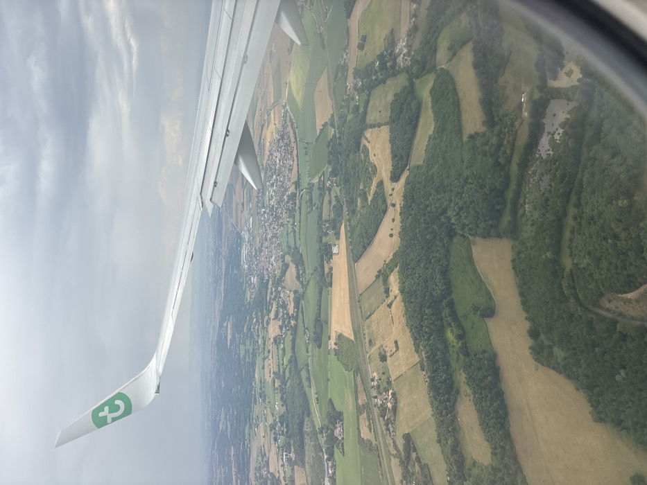
An aerial view from an aircraft depicts the rural landscape surrounding Bonnefamille, France, under an overcast sky. The white wing of a Transavia aircraft, featuring a green 't' logo on its wingtip, extends from the upper left towards the mid-right. Below, the terrain is a mosaic of cultivated fields, presenting in shades of green and yellow-brown, interspersed with dense, dark green forest patches. The commune of Bonnefamille is centrally visible in the mid-distance, identifiable by its cluster of residential and commercial structures with predominantly light-colored roofs. A prominent linear light-colored feature, consistent with a highway (likely the A43 autoroute), traverses the landscape in the mid-ground. Several small, irregular-shaped ponds are visible within forested areas in the foreground. The sky above is uniformly covered by a thick layer of grey clouds. No individuals or specific actions are discernible within the frame.
Bonnefamille